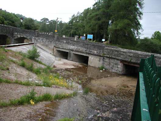
What is recorded here
Multiple-span stone and concrete road bridge, built in 1906 over a concrete spillway. Abutting western section, two-arched stone bridge across the Artificial Watercourse containing River Dodder, c.1885. To east, four flat trabeated openings in rusticated coursed granite ashlar walls. River diverted to north-east by concrete sill in its bed, forming spillway for floodwater. Inscribed plaques to parapets. 'The former bridge was destroyed by a flood on 25th April 1905' on west. 'Castlekelly Bridge rebuilt in February 1906,' to east. Square piers set in walls. Western section, twin segmental-arches of rusticated ashlar over channel to Artificial Watercourse to Lower Reservoir. Steps in riverbed above and below bridges.
These rugged bridges are along the length of the artificial watercourse which diverts peat-stained water from the domestic supply in the Lower Reservoir. As part of the Victorian domestic water supply system for Rathgar and Rathmines, which is still in use, it is of significance in the development of Dublin's social and physical infrastructure.
From the Buildings of Ireland (National Inventory of Architectural Heritage) record 11225005
This does not grant access. Most recorded buildings are privately owned; view them only from public ground unless the owner allows entry.
Places near here
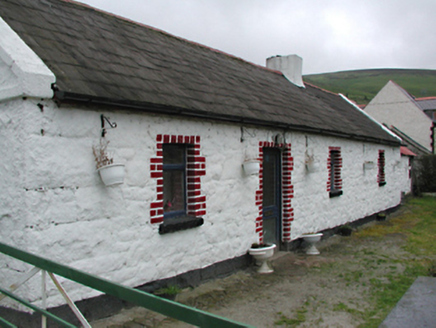 farm house240 ydCastleCastle, unclassified · 704 ydSaint Ann's GraveyardRuins · 705 yd(Site of) St Anns ChapelEcclesiastical site · 717 yd
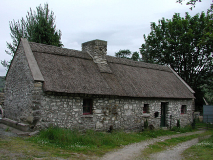 Glenasmole CottageFarm house · 785 ydSaint Ann's WellSpring · 913 ydFinn McCoole's StoneArchaeological place · 1285 yd
 Ballymorefinn HillMountain / peak · 1686 ydFeatherbed ForestForest · 1.2 mi
 SeahanMountain / peak · 1.4 mi
 Noel Lemass MemorialMemorial · 1.8 mi
 Massey WoodWood · 2.2 mi
Pictures: National Inventory of Architectural Heritage; JP, Geograph · CC BY-SA 2.0; Colin Park, Geograph · CC BY-SA 2.0; Alan James, Geograph · CC BY-SA 2.0
More historic places in County Dublin · All of County Dublin
What do you know about this place?