What is recorded here
Situated on a low rise, in generally level pasture, with excellent views to NW and SE. Depicted as a circular-shaped earthwork on the Longford Estate Map of 1767 and Larkin’s 1808 Map of Co. Westmeath. Depicted on the 1837 OS 6-inch map as an oval-shaped tree-ring. Monument described in 1980 as a natural rise or ridge which was planted with trees in antiquity. There is a large shallow depression in the N side of the ridge where quarrying activities took place in the past. A slight mound on the top of the ridge at the S end of the depression is probably due to up-cast from the quarrying. The area of the depression and the ridge just S of it is overgrown with trees. No surface remains visible of an earthwork. This appears to be a landscape feature of Craddockstown House, which lies c. 190m to NW. The site is visible as a modern farmyard on Digital Globe aerial photography.
Compiled by: Alison McQueen, Vera Rahilly and Caimin O’Brien
Date of upload: 09 July 2019
The monument record does not grant public access. Check the route and ask the landowner before entering private land.
- What survives
- Recorded monument
Places near here
 Craddenstown Lodgehouse · 241 yd
 Enclosure in Joristown LowerEnclosure · 711 yd
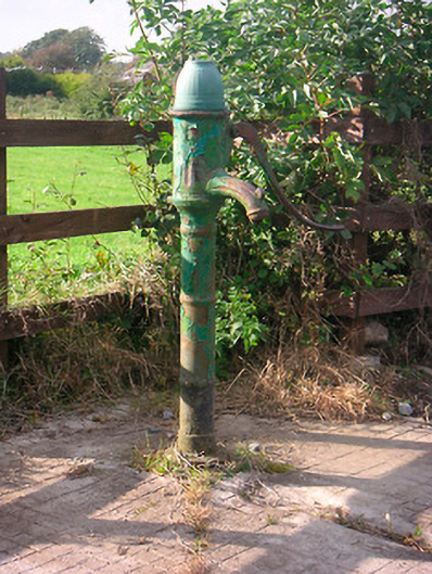 water pumpwater pump · 735 yd
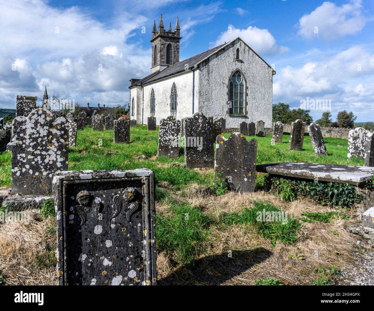 St. Patricks or Scardan WellHoly well · 1.5 mi
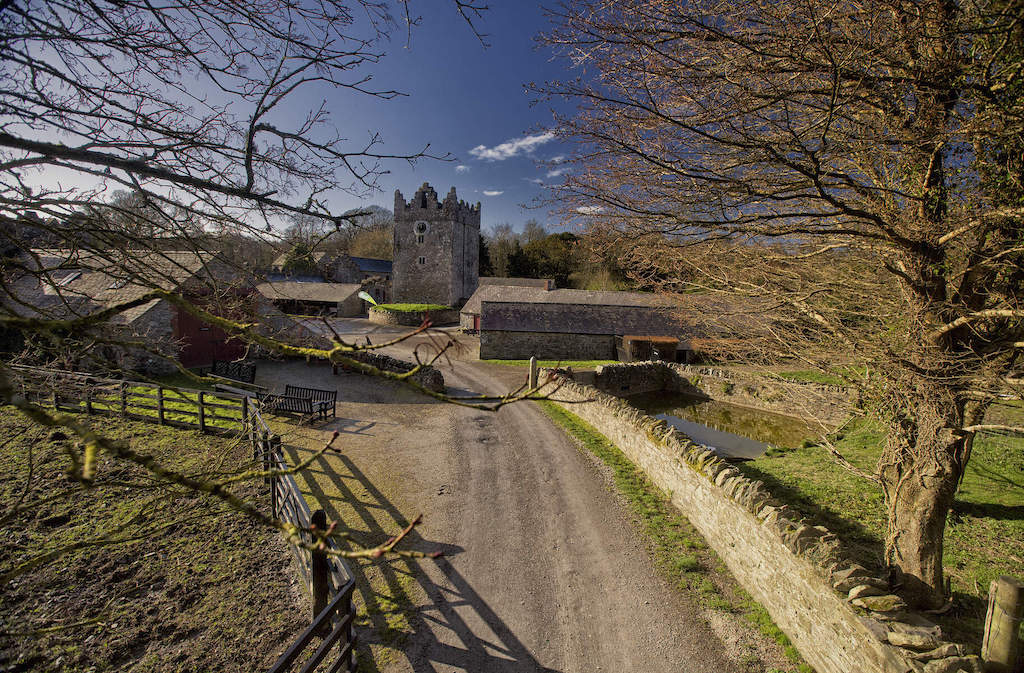 CastleCastle, unclassified · 2.0 mi
 Killagh Ho. & CastleCastle, tower house · 2.4 mi
 ScregganWood · 2.5 mi
 GinkgoGinkgo · 3.7 mi
 Croppies' GraveMemorial · 7.9 mi
 Craddenstown Housecountry house · 1276 yd
 IndicatedBuilding · 1302 yd
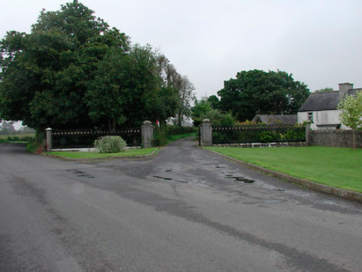 Grange More Housegates/railings/walls · 1536 yd