
What is recorded here
Situated on a ridge, in undulating pasture, with good views in all directions and overlooking the valley of the River Deel to W. Annotated 'Ruin' on Larkin’s 1808 map of Co. Westmeath (NLI, MS 46,580). The area where the ruined building was indicated on the 1808 map was depicted a small, oval-shaped grove of trees on the 1837 ed. OS 6-inch. Levelled monument described in 1980 as no surface remains visible. The area has been divided into smaller fields and a modern field fence runs NW-SE across this area. Levelled monument is not visible today on Digital Globe aerial photography.
Compiled by: Alison McQueen, Vera Rahilly and Caimin O’Brien
Date of upload: 10 July 2019
The monument record does not grant public access. Check the route and ask the landowner before entering private land.
- What survives
- Recorded monument
Places near here
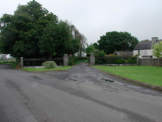 Grange More Housegates/railings/walls · 251 yd
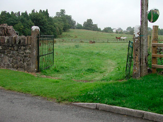 gates/railings/wallsgates/railings/walls · 319 yd
 Enclosure in Joristown LowerEnclosure · 1465 yd
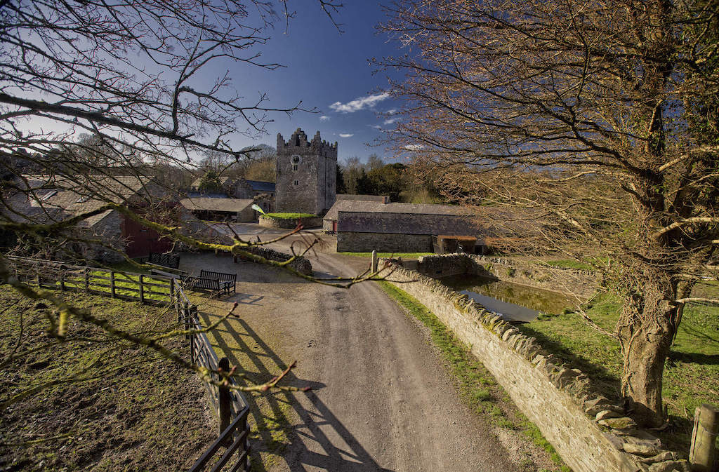 CastleCastle, unclassified · 1.3 mi
 Man-made underground passage in Higginstown (farbill By.)Man-made underground passage · 1.8 mi
 Rathwire Moat & CastleCastle, motte and bailey · 2.6 mi
 ScregganWood · 2.8 mi
 GinkgoGinkgo · 4.2 mi
 Croppies' GraveMemorial · 7.2 mi
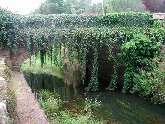 bridgebridge · 470 yd
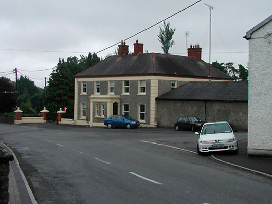 Riverview Househouse · 500 yd
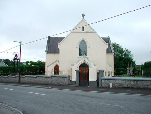 Saint Brigid's Catholic Churchchurch/chapel · 528 yd
Other information
Photo: Credit not shown in the picture search · Rights wording not checked; contact us if this picture should be removed