DDiscover AloneMapAbout

Fairy fort or earthen ringfort in Ballynacoska

Fairy fort / earthen ringfort
Computer-made picture that does not show Fairy fort or earthen ringfort in BallynacoskaNot a photo of this monument
Computer-made picture. It does not show this monument. · Report the wrong picture

What is recorded here

Monument surveyed by ASI in 1977 and described as following; 'This site has been largely destroyed. All that remains intact is the SE segment of what may originally have been a circular (?) embankment (diam. 17m N-S). A modern field wall runs E-W across the site on the N and nothing is visible of the site to the N of…

Read the whole record
Monument surveyed by ASI in 1977 and described as following; 'This site has been largely destroyed. All that remains intact is the SE segment of what may originally have been a circular (?) embankment (diam. 17m N-S). A modern field wall runs E-W across the site on the N and nothing is visible of the site to the N of this. Another field fence runs E-W just S of the site, and a modern post and wire fence runs across the site on the W and the perimeter of the site seems to have been incorporated in a field fence on the E. The site is not marked as an antiquity on the 1912 ed. OS 6-inch map but is shown as a sub-rectangular field. The site as it survives consists of a flat central area with a scarp at its E and S sides which drops to a narrow flattish area before falling again in another outer scarp. There is some evidence for a slight bank of earth and stone at the upper edge of this second outer scarp. There is a fosse at the foot of the outer scarp on the S but it seems to be associated with the modern E-W field fence which runs here; there is no fosse on the E. An old field bank runs from the modern field fence to the perimeter of the site on the SE. There is no indication of an original entrance. There is a good deal of stone visible in the edge of the inner scarp on the S. The interior is level and no features are visible. The E side of the interior and the perimeter on E and S are overgrown with trees, thorn bushes and briars. The site is on a rise in fairly good pasture land. There are reasonably good views in all directions except the S. ' (SMR File 18/08/1977).

From the National Monuments Service (Archaeological Survey of Ireland) record WM032-044

The monument record does not grant public access. Check the route and ask the landowner before entering private land.

What do you know about this place?Tap to add a comment or ask a question

What you write will be public.

Places near here

Photo credits
  • National Inventory of Architectural Heritage
  • Maker not stated on source page, de.wikipedia.org
  • Maker not stated on source page, www.alamy.com
  • Maker not stated on source page, www.dreamstime.com
  • Picture: Heritage in Schools
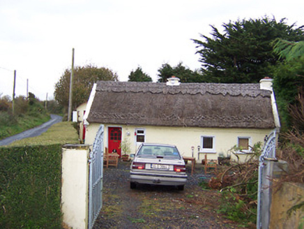
The ThatchHouse · 469 yd

Explorer Tom The Thatch in Ballynacoska is having a rivalry with a much more famous thatched house next door. It has decorative…

Fairy fort / earthen ringfort in DromoreFairy fort / earthen ringfort · 558 yd

Explorer Tom Fairy fort in Dromore is covered in whitethorn bushes because a bishop refused to visit unless it looked like a hedge…
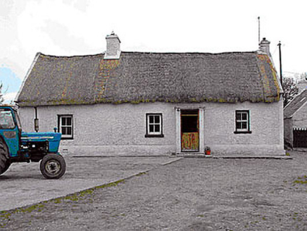
farm house862 yd

Explorer Tom Farm house in Gneevebeg had the time a fox took charge of the kitchen and made a stew out of leftover potatoes. It’s a…

Cist in SraneegCist · 1.0 mi

Explorer Tom Cist in Sraneeg is basically gone, but locals say a matchmaker used to work there and still sets up couples at night.…
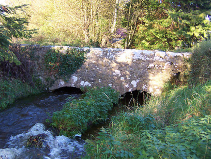
bridge1.3 mi

Explorer Tom Bridge in Ballinlough is the stage for a love story where two arches met and immediately started fighting over who…
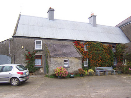
Garhy LodgeHouse · 1.4 mi

Explorer Tom Garhy Lodge is a house with a split personality, with one half old-school and the other half trying too hard to be…

Middleton Park HouseBuilding misc · 1.8 mi

Explorer Tom Middleton Park House is just a gas house now, but it used to light up the whole estate like a disco ball. Imagine a cow…
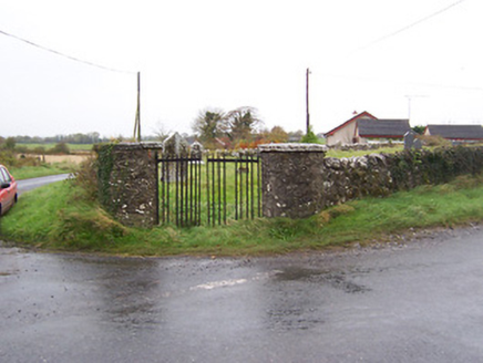
Balrath GraveyardGates/railings/walls · 1.8 mi

Explorer Tom Balrath Graveyard gates are designed by a mother-in-law who really needed you to know where she stood. Those round…
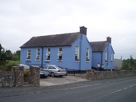
Saint Patrick's National SchoolSchool · 2.2 mi

Explorer Tom Saint Patrick’s National School is where a priest once lost a bet and had to wear a donkey mask for a week, which…
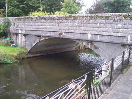
Ballynagore BridgeBridge · 2.2 mi

Explorer Tom Ballynagore Bridge in Knockycosker has four arches, but it secretly suspects the postman is using the middle ones to…

CastleCastle, tower house · 4.0 mi

Explorer Tom Castle in Correagh is hiding a treasure that is definitely just a biscuit tin from 1954. The tower house stands there…

Ardan WoodWood · 5.5 mi

Explorer Tom Ardan Wood, near Sonnagh in County Westmeath, has been minding its own business for centuries, which is more than I can…

More archaeology and monuments in County Westmeath · All of County Westmeath

Add to this placeAdd a picture Add a detailed tip Add a story

Explore the map1,095,414 places to discover

Next place · or swipeThe Thatch