What is recorded here
Ross Geoghegan held the tower house on a slight rise above undulating pasture, commanding extensive views to the north, east and west. The 1655 Down Survey recorded his possession before ruin claimed the stone, leaving only low footings and a short eastern wall rising three and a half metres near the northeast corner. Thorn trees now choke the interior, hiding a mound of earth and stone that may mark buried lives or forgotten hearths. What remained of Geoghegan's castle became a tree-covered shadow in the pasture, visible only when aerial photography cuts through the branches.
Situated on a slight rise, in gently undulating pasture, with extensive views to N, E and W. Castle is depicted as a tower house type structure on the 1655 Down Survey map of Moycashel Barony (NLI, MS 723-4). The 1655 Down Survey map of Ardnurcher parish shows the tower house annotated 'Castle' standing on lands belonging to 'Rose Geoghagen' [Ross Geoghegan] of Ballard and Corenagh who is listed as an Irish Papist' (ibid.). Depicted on the first ed. OS 6-inch map as a rectangular-shaped structure annotated ‘Castle’ and on the revised 1913 ed. OS 25-inch map annotated as ‘Castle (in Ruins)’.
Monument described in 1979 as very poorly preserved ruins of a rectangular-shaped building (approx. dims. 10m E-W) defined by low wall footings to E, S and W. A short portion of the E wall (approx. L 1m) is highest (approx. H 3.5m) toward the NE corner. The visible portions of wall are built of rubble limestone laid in rough courses. No dressed or cut stone features survive. The rest of the wall footings are obscured by rubble, earth and tree trunks which have been deposited on the site at N and E. A mound (approx. H 1m) of earth and stone is visible within the interior. The monument is partly overgrown with thorn trees. There are no surrounding earthworks visible. According to a field report of 1977, burials (WM037-007001-) were found to E or SE of the castle. Monument is visible today as a tree-covered structure on Digital Globe aerial photography.
Compiled by Alison McQueen, Vera Rahilly and Caimin O’Brien.
Date of upload: 16 December 2019
A tower house at Castle Correagh, Moycashel Barony, was recorded on the 1655 Down Survey, indicating its presence during the 17th century. Its location and depiction suggest it was part of the defensive and territorial landscape of early modern Ireland.
The monument record does not grant public access. Check the route and ask the landowner before entering private land.
- What survives
- Recorded monument
Places near here
 OutlinedFairy fort / earthen ringfort · 302 yd
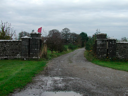 Correagh Cottagegates/railings/walls · 668 yd
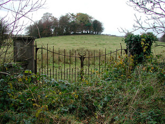 gates/railings/wallsgates/railings/walls · 1094 yd
 Enclosure in BallykilcrossEnclosure · 1339 yd
 Bawn in CoolaloughBawn · 1.1 mi
 CastleCastle, unclassified · 1.1 mi
 Kilmalady HillMountain / peak · 1.5 mi
 Chapel HillForest · 2.9 mi
 High WoodWood · 3.1 mi
 St. Columba's WellSpring · 3.5 mi
 ToberaskeenSpring · 4.1 mi
 Bonfire HillMountain / peak · 4.3 mi