What is recorded here
Situated on a slight natural rise in gently undulating grassland. Depicted on the 1837 OS Fair Plan map as a small circular earthwork annotated as a ‘fort’. Present remains consist of a circular shaped area (diam. 11.2m N-S; 12.5m E-W) enclosed by a dry stone wall (Wth 1m; H 0.8m). A collapsed L-shaped dry-stone wall (long portion 5m WSW-ENE; short portion 3.20m SSE-NW; Wth 1.8m; H 0.4m; T 0.5m) of uncertain date is visible in the interior.
Compiled by: Frank Coyne and Caimin O'Brien
Date of upload: 9 June 2017
A local fairy fort (ringfort/rath); wider significance not recorded.
The monument record does not grant public access. Check the route and ask the landowner before entering private land.
- What survives
- Recorded monument
Places near here
 36th Locklock · 808 yd
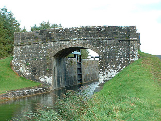 bridgebridge · 818 yd
 Settlement desertedSettlement deserted, medieval · 1201 yd
 Site of CastleCastle, unclassified · 1215 yd
 OutlinedFairy fort / ringfort · 1295 yd
 CastleCastle, unclassified · 1364 yd
 Horse-chestnutHorse-chestnut · 2.6 mi
 Baronstown ForestWood · 2.6 mi
 Abbeyshrule AbbeyRuins · 4.2 mi
 Newcastle WoodsForest · 6.9 mi
 Noughaval CemeteryArchaeological place · 9.8 mi
 National Famine WayWalking route · 10 mi