DDiscover AloneMapAbout

Barrow in Annaskinnan

Barrow, unclassified
Computer-made picture that does not show Barrow in AnnaskinnanNot a photo of this monument
Computer-made picture. It does not show this monument. · Report the wrong picture

What is recorded here

Monument surveyed in 2015 and described by McGuinness (2015, 34) as following: ‘Monument consists of an approximately square mound (6.5m N-S x 6.8m E-W) with slightly rounded corners (due to erosion), flat top (3.5m NS x 3.3m E-W) and steeply sloping sides, its two axes aligned NNW-SSE (N-S here) and ENE-WSW (E-W…

Read the whole record
Monument surveyed in 2015 and described by McGuinness (2015, 34) as following: ‘Monument consists of an approximately square mound (6.5m N-S x 6.8m E-W) with slightly rounded corners (due to erosion), flat top (3.5m NS x 3.3m E-W) and steeply sloping sides, its two axes aligned NNW-SSE (N-S here) and ENE-WSW (E-W here); no trace of a ditch is apparent. Where thickest on W side, it rises 0.76m above ground level; it is most massive here, arguably so that upper surface of mound would appear approximately level despite ground surface sloping down to W. Mound is well preserved except for NE corner, where there has been extensive damage and some small boulders exposed. Flat upper surface of mound slopes down gently from W to E; a slight depression at centre could indicate either ransacking or a collapsed chamber, but more likely it relates to an episode from recent decades, as an ASI fieldworker was informed by the landowner on 18/5/71 that ‘a few years ago one of his farm labourers dug into the mound and found a lot of bones’. Although minuscule, this flat-topped mound is most prominently positioned on the flat summit of a striking, steep-sided glacial hillock with stepped base on its W side, the highest of several in the area; visibility is excellent in all directions. A gigantic erratic stands isolated in a field c. 250m to ENE; a large gravel quarry is visible a few fields to S. This unusual rectilinear mound is not obviously a barrow: As one ASI fieldworker described it on 18/5/71: Barrow? A small, low, sub-circular, steep flat-topped mound of stony earth. It looks as if it is a very modern platform. Its significance is unknown. [SMR file]. The account of 10/6/80, while acknowledging its angular shape, is also sceptical: A small, low, sub-rectilinear, flat-topped mound of earth & stones. There is no visible sign of a fosse. The sides of the mound are relatively steep on the N, S & W, but on the E the mound is somewhat defaced & it slopes gradually there. The N, S & W sides are almost straight & it looks as if the mound has been scarped at some time in the relatively recent past. [SMR file] Nonetheless, this monument in which bones have been found is very strikingly located on a glacial hillock with excellent visibility, a type of location common for barrows in this and other counties; and the recognition of what appears to be a second, prominently sited rectilinear barrow at Pass of Kilbride (WM034-004----), only c. 8km to SW, seems to suggest that it is indeed a barrow, albeit of a hitherto unknown type in Ireland’.

From the National Monuments Service (Archaeological Survey of Ireland) record WM027-027

The monument record does not grant public access. Check the route and ask the landowner before entering private land.

What do you know about this place?Tap to add a comment or ask a question

What you write will be public.

Places near here

Photo credits
  • National Inventory of Architectural Heritage
  • Scaramanga731, Wikimedia Commons · CC BY-SA 4.0
  • Royalcanalrunner, Wikimedia Commons · CC BY-SA 4.0
  • JP, Wikimedia Commons · CC BY-SA 2.0
  • Maker not stated on source page, www.pinterest.com
  • Maker not stated on source page, theirishaesthete.com
harbour/dock/port548 yd

Explorer Tom Harbour in Annaskinnan still echoes with a fiddler who never finished his tune. He's been playing the same three notes…

bridge590 yd

Explorer Tom Bridge in Annaskinnan was supposedly built on a bargain so good the stonemason nearly fainted with shock at how cheap…

18th LockLock · 607 yd

Explorer Tom Eighteenth Lock in Annaskinnan got lost on its way to being a fancy hotel and ended up stuck in a canal instead. It’s…

D'Arcy's BridgeBridge · 773 yd

Explorer Tom D'Arcy's Bridge has a secret talent: it can hold its breath underwater better than any of us combined. It’s all about…

Hyde ParkDemesne walls/gates/railings · 904 yd

Explorer Tom Hyde Park’s gates are sick of being asked if they lead to London, so I’d suggest you stop bothering them with that…

19th LockLock · 1130 yd

Explorer Tom Nineteenth Lock in Cushinstown would describe the 1800s to a teenager as 'when we had better lighting and less Wi-Fi.'…

CastleCastle, unclassified · 1170 yd

Explorer Tom Castle in Cushinstown is playing hard to get, hiding behind a farmer's tractor that definitely isn't moving anytime…

canal (section of)1333 yd

Explorer Tom This canal section in Thomastown has 'Dancing Queen' on repeat because it thinks water levels are basically a dance…

20th LockMilestone/milepost · 1631 yd

Explorer Tom 20th Lock is a canal milestone that would handle a nosey neighbour by just standing there and judging their shoes from…
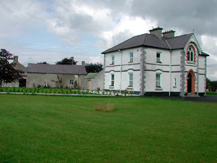
Saint Joseph'sPresbytery/parochial/curate's house · 1736 yd

Explorer Tom Saint Joseph's in Rathwire Lower faces away from its own church, which feels like ignoring your best friend at a party…
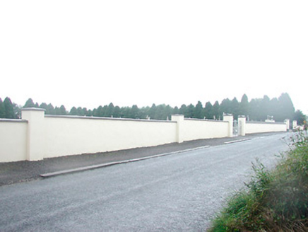
Saint Joseph's CemeteryGraveyard/cemetery · 1.1 mi

Explorer Tom Saint Joseph's Cemetery had a prophecy that it would become a skate park, but nobody listened. It’s got gravestones…
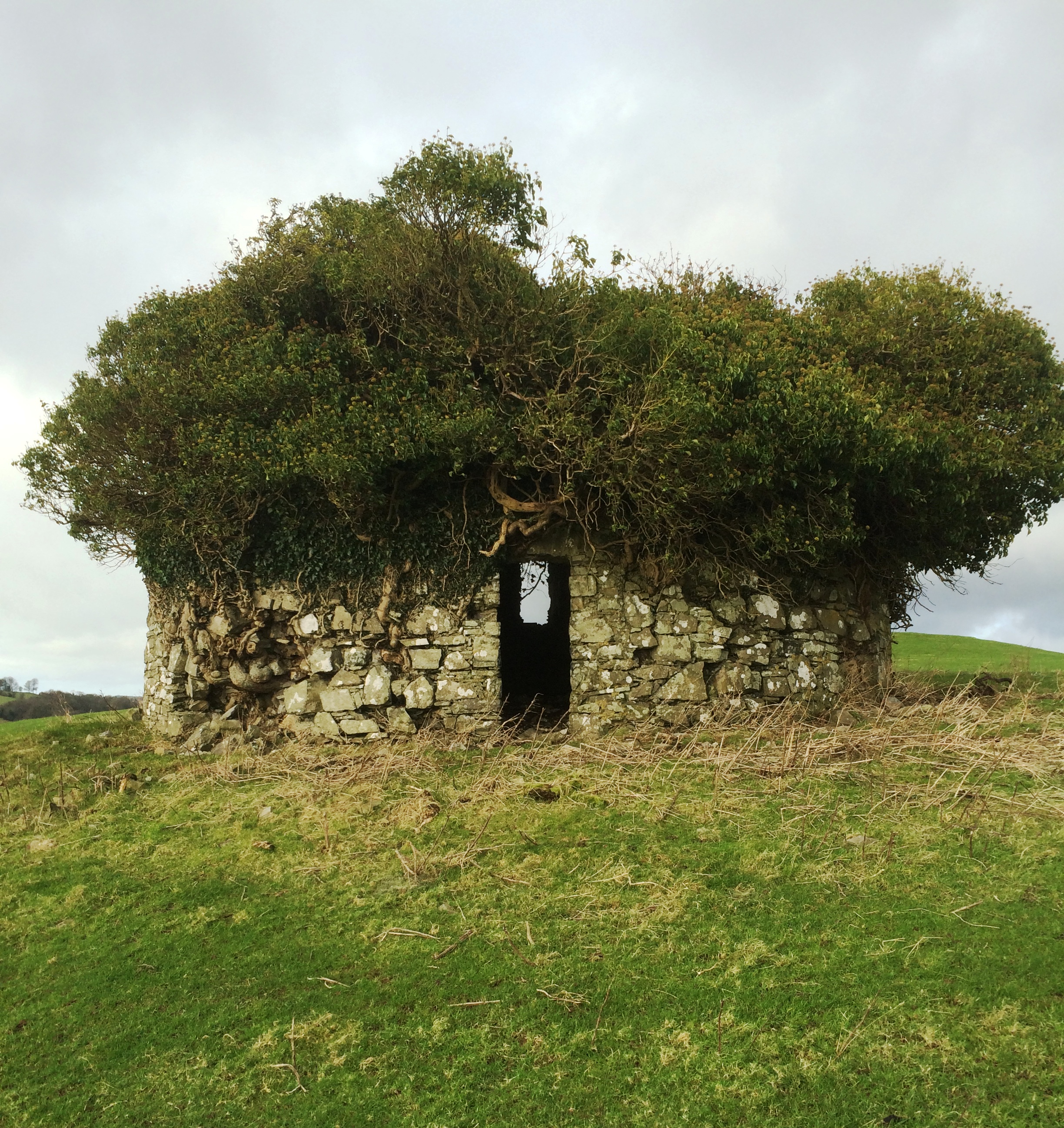
Fairy fort / earthen ringfort in Higginstown (farbill By.)Fairy fort / earthen ringfort · 2.2 mi

Explorer Tom Fairy fort / earthen ringfort in Higginstown is rivaling a more famous place down the road, claiming it has better…

More archaeology and monuments in County Westmeath · All of County Westmeath

Add to this placeAdd a picture Add a detailed tip Add a story

Explore the map1,095,414 places to discover

Next place · or swipeharbour/dock/port