
What is recorded here
On a gentle SE-facing slope on poorly drained grassland in upland area with good views in all directions. Nearby moated site (TS049-045----) 150m to E and enclosure (TS049-041----) 250m to W. Fish-pond consists of a large waterlogged circular-shaped area (approx. diam. 40m N-S; 50m E-W) which even in the summer time…
Read the whole record
From the National Monuments Service (Archaeological Survey of Ireland) record TS049-044
Places near here
Photo credits
- Maker not stated on source page, heritageireland.ie
- National Inventory of Architectural Heritage
- A.-K. D., Wikimedia Commons · CC BY-SA 4.0
- Maker not stated on source page, dowego.ru
- Maker not stated on source page, en.wikipedia.org
- Maker not stated on source page, za.pinterest.com
- Kmcnamee, Wikimedia Commons · CC BY-SA 4.0
- Maker not stated on source page, www.travelmanagers.com.au
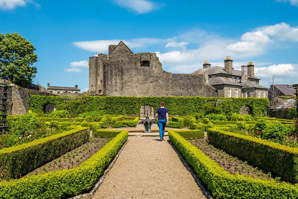 Site of Lisnamrock CastleBawn · 530 yd
Explorer Tom Site of Lisnamrock Castle would post on social media: 'Just got a new lawn, 10/10 for lack of visible history…
 Lisnamrock CollieryChimney · 585 yd
Explorer Tom Lisnamrock Colliery is just a chimney standing in the field, acting like it invented the concept of 'industrial chic.'…
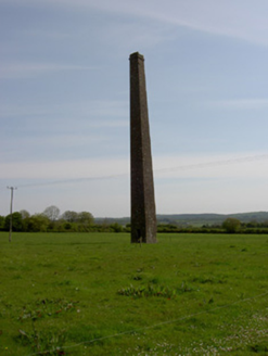 Copper SteepleChimney · 1041 yd
Explorer Tom Copper Steeple is just a chimney that thinks it’s a steeple because it was too lazy to climb all the way up to heaven…
 Ballingarry CreameryCreamery · 1515 yd
Explorer Tom Ballingarry Creamery would win a county fair easily if it stopped being so plain. It’s got that pedimented breakfront…
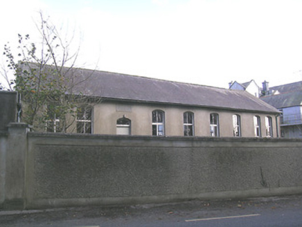 Ballingarry Presentation ConventSchool · 1720 yd
Explorer Tom Ballingarry Presentation Convent is claiming to be older than the hills themselves, which is a bold move for a former…
 Fairy fort / earthen ringfort in Gortanassy EastFairy fort / earthen ringfort · 1721 yd
Explorer Tom Fairy fort / earthen ringfort in Gortanassy East has had more names than a pop star with a PR team. The bank is barely…
 presbytery/parochial/curate's house1.0 mi
Explorer Tom The presbytery in Ballingarry Lower has an ongoing feud with the rain because it thinks the water is trying to wash…
 Site of ChurchGraveyard · 1.2 mi
Explorer Tom Site of Church in Ballingarry Lower had a cow that tried to buy it with a single udder, but the paperwork got stuck.…
 Ballingarry Old Church CemeteryCemetery · 1.2 mi
Explorer Tom If Ballingarry Old Church Cemetery were a person, it would be the one who falls asleep during the speeches. It’s just…
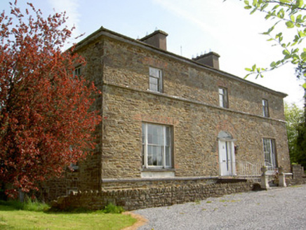 The GlebeRectory/glebe/vicarage/curate's house · 1.2 mi
Explorer Tom The Glebe in Ballingarry Upper nearly got famous when someone scraped off the render and revealed some round-headed…
 O'Sullivan Park, BallingarryGAA ground · 1.6 mi
 Site of CastleCastle, unclassified · 1.7 mi
Explorer Tom Site of Castle in Ballykerin was built using approximately four hundred cups of tea and a lot of thatched roof…
More archaeology and monuments in County Tipperary · All of County Tipperary

What do you know about this place?Tap to add a comment or ask a question