What is recorded here
On flat elevated reclaimed grassland in upland area with good views in all directions. Nearby stream to W with fish-pond (TS049-044----) and enclosure (TS049-041----) to 150m and 400m to the W respectively. All that is visible of the moated site are a series of low undulating earthworks of a much degraded D-shaped enclosure (approx. dims. 40m N-S x 35m E-W) defined by a filled in moat now visible as a cropmark (Wth 3m; ext. D 0.2m). Depicted on the 1st (1840) OS 6-inch map as a square-shaped area with possible building (TS049-045001-) in the centre of the moated site and with field boundaries intersecting the at N and S. These field boundaries were removed by the 1903 ed. OS 6-inch map. The moated site may have been levelled between 1840 and 1905 when the field boundaries were being removed. The monument shows up on an aerial photograph (ASIAP (26)14-18) as a roughly D-shaped cropmark of a levelled moated site.
Compiled by: Jean Farrelly
Date of revised upload: 27 May 2015
The monument record does not grant public access. Check the route and ask the landowner before entering private land.
- What survives
- Recorded monument
Places near here
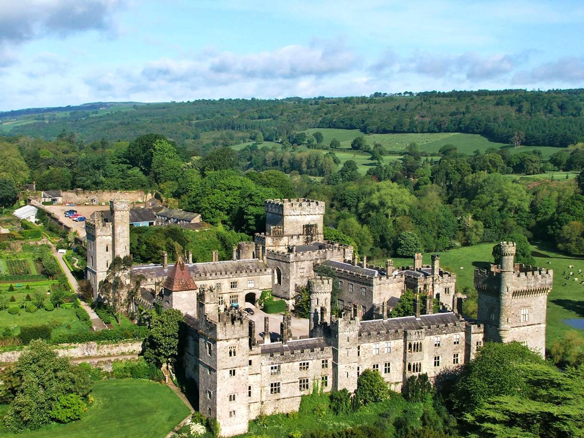 Site of Lisnamrock CastleCastle, unclassified · 689 yd
 Lisnamrock Collierychimney · 708 yd
 IndicatedEnclosure · 748 yd
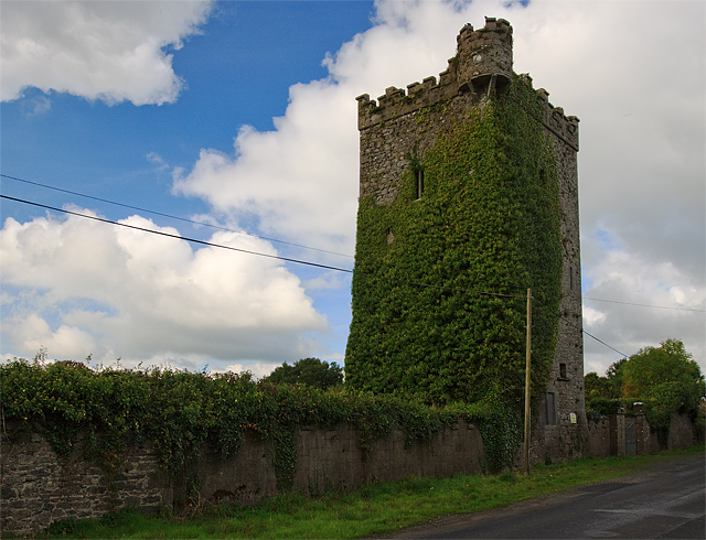 Site of Williamstown CastleCastle, unclassified · 896 yd
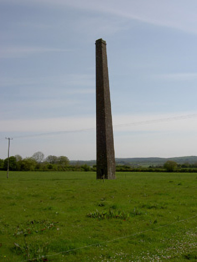 Copper Steeplechimney · 1127 yd
 Site of ChurchChurch · 1.2 mi
 Warhouse HillMountain / peak · 2.4 mi
 Bregaun HillMountain / peak · 2.7 mi
 Top Field at Carey'sForest · 3.2 mi
 Second Field on the HillForest · 3.3 mi
 Kilcooly AbbeyHeritage attraction · 4.7 mi
 Slieveardagh Heritage CentreVisitor information · 4.8 mi