
What is recorded here
Old Church in Kilberry has a sandstone slab marked with a cross and a square hole, the sort of thing that would have your uncle announcing he knows exactly what it’s for. Give him ten minutes and he’ll claim he has the missing bit in the shed.
Located towards the top of a gentle S-facing slope. A church at Kilbery is listed in the ecclesiastical taxation (1302-06) of Pope Nicholas IV (Cal. doc. Ire. 5, 261). The names of some of the clergy are known (Cogan 1862-70, 1, 349-50). Ussher (1622) describes the church and chancel as reasonably well repaired (Erlington 1847-64, 1, xcii). According to Dopping’s Visitation (1682-5) Kilberry was dedicated to St. John the Baptist, but the church was ‘ruined since (16)41’ (Ellison 1973, 5). The parish church of Kilberry is situated within a D-shaped graveyard (dims c. 90m E-W; c. 70m N-S) defined by masonry walls. The church consists of the S, E and fragments of the N wall of a rectangular structure (ext. dims 14.3mE-W; 7.6m N-S) defined by masonry walls (Wth 1-1.2m; ext. H 1.5-2m). The E jamb of a doorway in the S wall with a keel-moulding is the only visible feature and the interior is filled with cairn material, while the present fragment of the W wall (T 0.6m) is probably a modern one. A rectangular limestone font (dims 0.68m x 0.62m; H 0.46m) with a circular basin (diam. 0.47m; D 0.26m), which has had two angles chamfered off (Roe 1968, 123) is W of the church. A sandstone graveslab (L 2m; Wth 0.39 0.56m; H 0.15m) is E of the church and has a floriated cross incised with double lines and fleur de lis terminals. A rectangular hole (dims 0.21m x 0.21m) has been cut into the wider end of the slab. Nearby is a tomb chest with a limestone covering slab (L 2.2m; Wth 0.9m; T 0.15m), supported on one side stone and an end-panel (Wth 0.84m; H 0.76m) with a raised crucifixion that has foreshortened legs. The covering slab has a crest at the head, a skull and cross bones at the feet and an inscription commemorating Mathius Everard, who died in 1717 (Lett 1921-25). The tomb was erected by his brother and is probably the tomb described by Butler (1892, 127), writing c. 1740, as being in the graveyard (ME017-034001-) at Donaghpatrick.
Located towards the top of a gentle S-facing slope. A church at Kilbery is listed in the ecclesiastical taxation (1302-06) of Pope Nicholas IV (Cal. doc. Ire. 5, 261). The names of some of the clergy are known (Cogan 1862-70, 1, 349-50). Ussher (1622) describes the church and chancel as reasonably well repaired (Erlington 1847-64, 1, xcii). According to Dopping’s Visitation (1682-5) Kilberry was dedicated to St.…
From the National Monuments Service (Archaeological Survey of Ireland) record ME018-022
The monument record does not grant public access. Check the route and ask the landowner before entering private land.
- What survives
- Recorded monument
Places near here
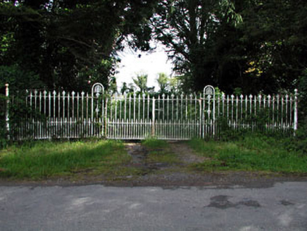 gates/railings/walls1.8 mi
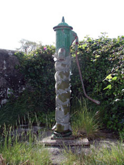 water pump2.0 miMullagha HillMountain / peak · 2.0 mi
 European Yew2.5 mi
 Round Tower2.7 mi
 Donaghmore Round TowerHeritage attraction · 2.7 miNangle CourtMemorial · 3.0 mi
 Lebanon Cedar3.7 miSimpson's MountainMountain / peak · 3.8 mi
 Druids AltarPortal tomb · 3.8 mi
 Athlumney CastleCastle, tower house · 4.0 mi
 CastleCastle, motte · 4.0 mi
Pictures: National Inventory of Architectural Heritage; Sitomon, Wikimedia Commons · CC BY-SA 2.0; Albert Bridge, Geograph · CC BY-SA 2.0; Aubrey Martin, Wikimedia Commons · CC BY-SA 4.0; Olivier BEZES, Wikimedia Commons · CC BY 2.5; Wanfried-Dublin, Wikimedia Commons · CC BY-SA 4.0; 瑞丽江的河水, Wikimedia Commons · CC BY-SA 4.0; Rob Hurson, Wikimedia Commons · CC BY-SA 4.0
More historic places in County Meath · All of County Meath
What do you know about this place?