What is recorded here
A slab (L 1.25m; 0.48m x 0.15m) lying by a stone field boundary. Surviving scores of an ogham inscription are visible along one side of the slab and across top. The scores are eroded along the other face. The inscription reads DIMAI MAQ CCAQTTAUCC. (Power et al. 1992, no. 3581)
Compiled by: Nora White
Date of upload: 18 April 2016
The monument record does not grant public access. Check the route and ask the landowner before entering private land.
- What survives
- Recorded monument
Places near here
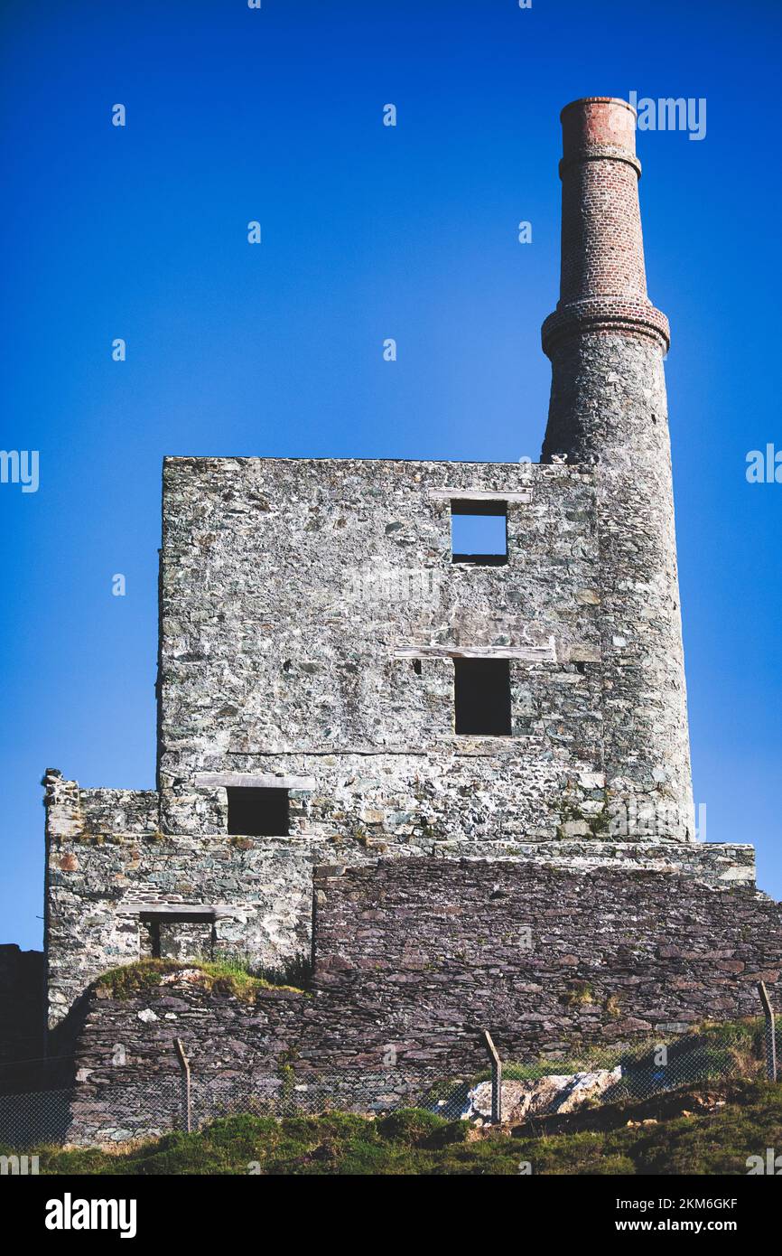 MineMine, copper · 840 yd
 Wild Atlantic WayVisitor information · 995 yd
 Hut site in BarreesHut site · 1032 yd
 Enclosure in BallycrovaneEnclosure · 1082 yd
 coastguard stationcoastguard station · 1524 yd
 GortbrackMountain / peak · 1.6 mi
 Eyeries - Coastguard Station LoopWalking route · 1.8 mi
 SkelligMountain / peak · 1.9 mi
 CarrigleamoreIslet · 2.0 mi
 Eyeries - Creha Quay LoopWalking route · 2.0 mi
 The BullIslet · 2.3 mi
 Pallas StrandBeach / strand · 2.6 mi