
What is recorded here
This stone was found standing in a field beside Ballingarry House. It is red sandstone, 1.47 x 0.46 x 0.275 (converted from Macalister 1945) and bears the inscription: MAILAGNI MAQI GAMATI, pocked on the sinister edge of the S face. (Macalister 1945, 253-4, no. 258)
See attached screenshots of 3D model of the Ogham Stone created by archaeology.ucc. 3D model can be accessed at the Sketchfab website: https://skfb.ly/MzzG
Compiled by: Nora White
Date of upload: 16 September 2016
The monument record does not grant public access. Check the route and ask the landowner before entering private land.
- What survives
- Recorded monument
Places near here
 St. Peters & St. Pauls WellHoly well · 431 yd
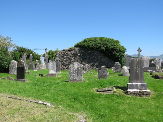 Grave YardGraveyard · 605 yd
 Ballylanders MillsWater mill, unclassified · 1125 yd
 Saint Patrick's Catholic Churchchurch/chapel · 1231 yd
 SlievereaghMountain / peak · 1.6 mi
 Duntryleague - hachuredCastle, ringwork · 1.6 mi
 Site of Castle, Castle FieldCastle, unclassified · 1.9 mi
 Saint Patrick's WellSpring · 2.0 mi
 Darby's Bed Walk LoopWalking route · 2.4 mi
 Duntryleague HillMountain / peak · 2.4 mi
 Edmund's WellSpring · 2.5 mi
 Ballinvreena LoopVisitor information · 2.9 mi
Other information
Photo: Credit not shown in the picture search · Rights wording not checked; contact us if this picture should be removed