
What is recorded here
In gently undulating pastureland. According to local information, a ‘cave’ known as the 'lair' of the 'Gadaí Dubh (Black Thief)' was uncovered by during bulldozing operations just inside a field wall on the E side of a roadway. It appears to have been aligned E-W as on the other side of the roadway 'slab stones' where found when the area beside the wall was dug to a depth of about '5ft' (c. 1.5m); this was subsequently blocked up. No visible surface traces survives.
Compiled by: Galway Archaeological Survey, UCG
Date of upload: 9 September 2019
The monument record does not grant public access. Check the route and ask the landowner before entering private land.
- What survives
- Recorded monument
Places near here
 Rosevillahouse · 690 yd
 CrossCross, Churchyard cross · 1260 yd
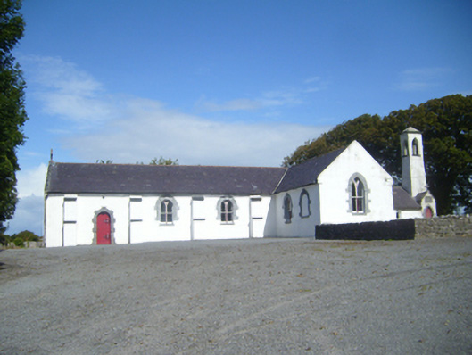 Saint Colman's Catholic Churchchurch/chapel · 1277 yd
 Wedge tomb in Doorus DemesneWedge tomb · 1293 yd
 Cusheen IslandIslet · 1.2 mi
 Seal IslandIslet · 1.3 mi
 Castle in ruinsCastle, unclassified · 1.5 mi
 CastleCastle, tower house · 1.8 mi
 Traught BeachBeach / strand · 2.2 mi
 Abbey HillMountain / peak · 3.0 mi
 Corcomroe AbbeyVisitor information · 3.5 mi
 Corcomroe Abbey Geopark SiteVisitor information · 3.5 mi
Other information
Photo: Credit not shown in the picture search · Rights wording not checked; contact us if this picture should be removed