
What is recorded here
Located on a fairly level landscape. William Brun and his son Nicholas witnessed the charter of Hervey de Montmorency to Dunbrody abbey (WX039-029001-) in 1178-82. Mulrankin was held by half a knight’s fee by William Brun in 1247 and by Nicholas Brun in 1307 from the Bigod estate (Brooks 1950, 34-5), but the original…
Read the whole record
From the National Monuments Service (Archaeological Survey of Ireland) record WX047-002002
Places near here
Photo credits
- National Inventory of Architectural Heritage
- Maker not stated on source page, www.theirishroadtrip.com
- Maker not stated on source page, en.wikipedia.org
- Maker not stated on source page, cz.pinterest.com
- Maker not stated on source page, www.patrickcomerford.com
- Maker not stated on source page, www.youtube.com
- Maker not stated on source page, www.tripadvisor.com
 farm house77 yd
Explorer Tom Farm house in Ballycappoge looks like the builder ran out of money and just stuck mud on the rest of the walls. It’s…
 Harpoonstown HouseFarm house · 1365 yd
Explorer Tom Harpoonstown House holds the fake world record for 'Most Boring Doorcase' and refuses to give up its trophy. It’s got…
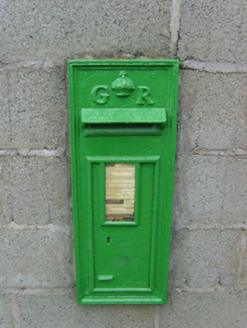 post box1403 yd
Explorer Tom Post box in Common saw a love story go wrong right next to it, involving a dropped ring and a lot of shouting. It’s got…
 Fairy fort / earthen ringfort in FardystownFairy fort / earthen ringfort · 1.1 mi
Explorer Tom Fairy fort in Fardystown is sixty meters wide, which means there is definitely a bird refusing to leave it and judging…
Fairy fort / earthen ringfort in GaynestownFairy fort / earthen ringfort · 1.2 miExplorer Tom Fairy fort / earthen ringfort in Gaynestown has strict rules: no shoes, no talking, and definitely no asking why it's…
 Enclosure in GaynestownEnclosure · 1.2 mi
Explorer Tom Enclosure in Gaynestown would write 'I like long walks, short naps, and being invisible' on its dating profile if it…
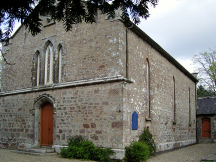 Saint David's Church (Mulrankin)Church/chapel · 1.3 mi
Explorer Tom Saint David's Church in Mulrankin sits right next to a ditch where a local poet supposedly fell while trying to recite…
 St. Davids ChurchChurch · 1.3 mi
Explorer Tom St. Davids Church has strong opinions about the road leading to it, claiming it’s too narrow for its own glory. The…
 Saint David's GraveyardGraveyard · 1.3 mi
Explorer Tom There’s a ridiculous story about someone smuggling an entire piano through Saint David's other graveyard during a fog…
Fairy fort / earthen ringfort in LongridgeFairy fort / earthen ringfort · 1.3 miExplorer Tom Fairy fort in Longridge suspects the postman stole its dignity years ago and never gave it back. It watches every…
 CastleCastle, unclassified · 1.4 mi
Explorer Tom Castle in Fardystown is a waste-ruined thing that Saint Patrick would have called 'needs work' before leaving. The map…
 Castle (in ruins)Castle, tower house · 1.6 mi
Explorer Tom Castle in Mulrankin has a hidden message in its stones that basically says 'stop looking at me' because it’s tired of…
More archaeology and monuments in County Wexford · All of County Wexford

What do you know about this place?Tap to add a comment or ask a question