
What is recorded here
Detached three-bay two-storey farmhouse, built 1850; extant 1853, on an L-shaped plan centred on single-bay single-storey gabled projecting porch to ground floor; single-bay (south) or two-bay (north) two-storey side elevations. Occupied, 1911. Refenestrated, ----. Hipped and pitched slate roof on an L-shaped plan with clay ridge tiles, paired rendered central chimney stacks having chamfered capping, and cast-iron rainwater goods on rendered slate flagged eaves retaining cast-iron downpipes. Roughcast walls on rendered chamfered plinth with rusticated panelled quoins to corners. Central door opening into farmhouse. Square-headed window openings with cut-granite sills, and rendered "bas-relief" surrounds framing replacement uPVC casement windows replacing six-over-six timber sash windows. Set in landscaped grounds with rendered piers to perimeter having shallow pyramidal capping supporting looped wrought iron double gates.
A farmhouse representing an integral component of the mid nineteenth-century domestic built heritage of south County Wexford with the architectural value of the composition suggested by such attributes as the compact plan form centred on an expressed porch; and the slight diminishing in scale of the openings on each floor producing a feint graduated visual impression. Having been well maintained, the elementary form and massing survive intact together with substantial quantities of the original fabric: the introduction of replacement fittings to most of the openings, however, has not had a beneficial impact on the external expression or integrity of the composition. Furthermore, adjacent "tin roofed" outbuildings (extant 1840) continue to contribute positively to the group and setting values of a self-contained ensemble having long-standing connections with the Cardiff family (NA 1901; NA 1911).
This does not grant access. Most recorded buildings are privately owned; view them only from public ground unless the owner allows entry.
Places near here
 Castle (Site of)Castle, unclassified · 77 yd
 Enclosure in BrideswellEnclosure · 1113 yd
 Brideswell Ho.Castle, unclassified · 1237 yd
 Harpoonstown Housefarm house · 1323 yd
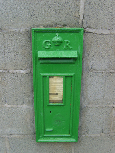 post boxpost box · 1329 yd
 Brides WellHoly well · 1638 yd
 Carrickatinna RockMountain / peak · 3.2 mi
 Skeater RockMountain / peak · 3.2 mi
 The Heron's MeadowForest · 3.4 mi
 The Bull RockForest · 3.5 mi
 1798 Memorial PlaqueMemorial · 3.7 mi
 Ballyhealy BeachBeach / strand · 4.9 mi
Other information
Photo: National Inventory of Architectural Heritage · Website use allowed for educational or private purposes with source credit