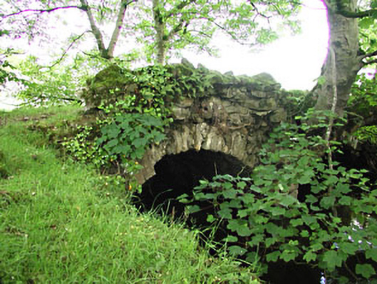
What is recorded here
Double-arch road bridge over river, built c.1720. Rubble stone walls with remains of some ashlar voussoirs. Remains of a rubble limestone parapet wall to the east side.
This bridge is unusual as the road sits directly on the arch below without a surface layer. The bridge is located at the end of the original lane from Newtown House to the bridge at Mahonstown. It forms part of a group with the related structures in the demesne. It may contain material of a pre-1700 date.
This does not grant access. Most recorded buildings are privately owned; view them only from public ground unless the owner allows entry.
Places near here
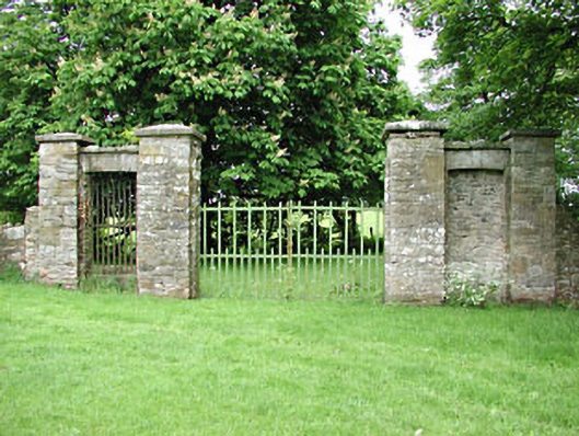 Newtowngates/railings/walls · 20 yd
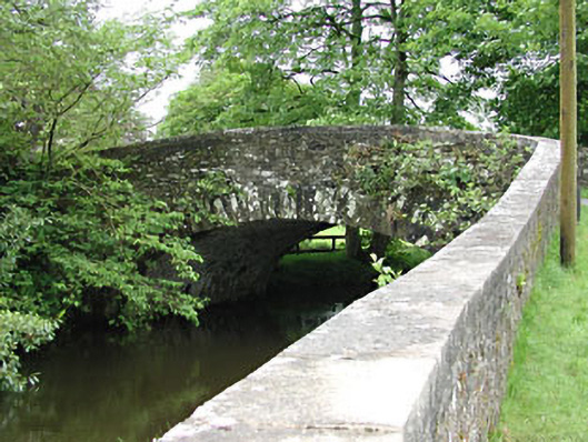 Mahonstown Bridgebridge · 55 yd
 Farranalcock CovertWood · 1168 yd
 Enclosure in Newtown (kells Lower By., Newtown Ed)Enclosure · 1214 yd
 Not indictedEnclosure · 1274 yd
 Fox CovertForest · 1297 yd
 DeerparkMountain / peak · 1472 yd
 John Mac MahonMemorial · 1.0 mi
 Moat of KilbegCastle, motte and bailey · 1.6 mi
 BalreaskMountain / peak · 1.7 mi
 Moynalty Steam Threshing MuseumMuseum · 1.9 mi
 Gravelstown CastleCastle, unclassified · 1.9 mi
Other information
Photo: National Inventory of Architectural Heritage · Website use allowed for educational or private purposes with source credit