What is recorded here
In gently undulating rocky pasture. Carville (1990, 51-2) believes that this deserted settlement represents the remains of a residential grange belonging to the Abbey of Boyle. The area extends over approximately 20 acres. The area is dominated on the NE side by a low hillock. To the E and SE of the hillock is an area of low, wet pasture within which is a holy well (SL005-034---). The S and E portions of the area consists of gently undulating rocky pasture. Views are good to excellent in all directions. The majority of the features are low in profile and difficult to distinguish from natural rocky undulations across the area. The individual components that make up the settlement are described separately (see SL005-033001- to SL005-033006-).
Compiled by: Mark Keegan, Paul Walsh
Date of upload: 11 June 2013
The monument record does not grant public access. Check the route and ask the landowner before entering private land.
- What survives
- Recorded monument
Places near here
 IndicatedHoly well · 142 yd
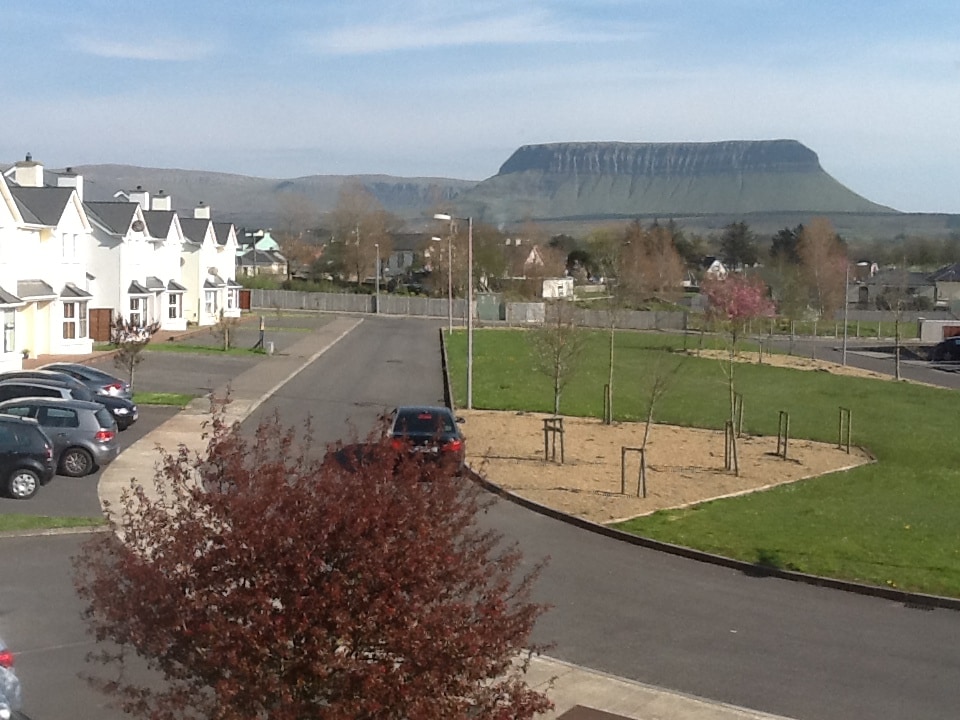 CashelmoreFairy fort / stone ringfort · 273 yd
 CastleCastle, unclassified · 433 yd
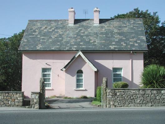 Saint Molaise'spresbytery/parochial/curate's house · 452 yd
 Catholic Church of Mary Immaculatechurch/chapel · 456 yd
 InishnagorIslet · 965 yd
 Atlantic SheepdogsHeritage attraction · 1625 yd
 Connors IslandIsland · 1.3 mi
 Streedagh BeachVisitor information · 1.5 mi
 de Cuellar Armada MonumentMemorial · 1.6 mi
 BenbulbinMountain / peak · 3.0 mi
 Upperglen WoodForest · 3.1 mi