What is recorded here
Situated in rocky, undulating limestone pasture. Part of a settlement cluster (SL005-033----) at Grange. The field system is visible across the E two-thirds of an extensive area extending from the summit of a hill in the NE, across the S-facing slopes of the hill and onto lower undulating ground in the S portion of the area. The field banks (av. dims. base Wth 1.5-3m; H 0.1-0.4m) are made up of low earth and stone banks with occasional larger rubble stone incorporated in no distinct pattern. Four hut sites (SL005-033002-, SL005-033003-, SL005-033005- and SL005-033006-) are located in the N portion of the field system and a holy well (SL005-034---) is located in the E of the area.
Compiled by: Patrick F. O'Donovan
Date of upload: 21 April 2011
The monument record does not grant public access. Check the route and ask the landowner before entering private land.
- What survives
- Recorded monument
Places near here
 IndicatedHoly well · 109 yd
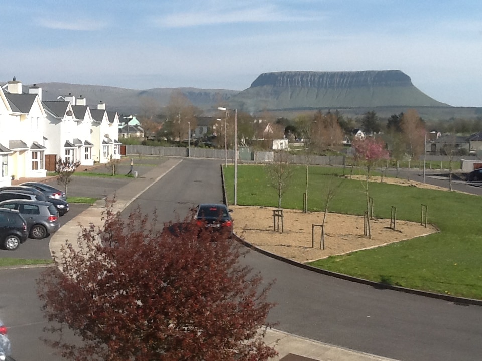 CashelmoreFairy fort / stone ringfort · 299 yd
 CastleCastle, unclassified · 409 yd
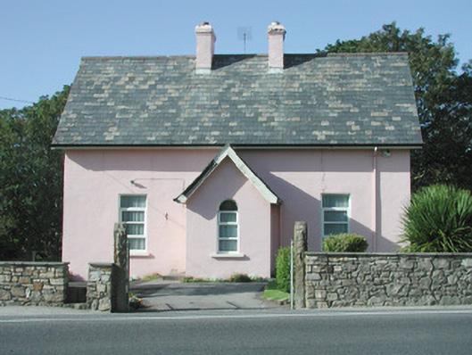 Saint Molaise'spresbytery/parochial/curate's house · 430 yd
 Catholic Church of Mary Immaculatechurch/chapel · 431 yd
 InishnagorIslet · 997 yd
 Atlantic SheepdogsHeritage attraction · 1639 yd
 Connors IslandIsland · 1.3 mi
 Streedagh BeachVisitor information · 1.5 mi
 de Cuellar Armada MonumentMemorial · 1.6 mi
 BenbulbinMountain / peak · 3.0 mi
 Upperglen WoodForest · 3.1 mi