
What is recorded here
From OpenStreetMap (© OpenStreetMap contributors) n3744756005
Places near here
Photo credits
- Maker not stated on source page, commons.wikimedia.org
- Alistair Cunningham, Wikimedia Commons · CC BY 3.0
- Maker not stated on source page, www.isle-of-mull.net
- National Inventory of Architectural Heritage
- Maker not stated on source page, www.flickr.com
- Greg Clarke, Wikimedia Commons · CC BY 2.0
- Picture: Wild Ireland
- Maker not stated on source page, www.revisitinghistory.com
- Kenneth Allen, Geograph · CC BY-SA 2.0
- Wikimedia Commons contributor · Public domain
 Megalithic tomb in GortnaskeaMegalithic tomb · 1574 yd
Explorer Tom Megalithic tomb in Gortnaskea is officially missing, which is brilliant for my imagination. An old report from 1867…
 Scalp MountainMountain / peak · 1.0 mi
Explorer Tom Scalp Mountain in County Donegal is recorded as a peak that definitely keeps its hair on. I imagine it’s got a bit of a…
 Standing stone in CarnamoyleStanding stone · 1.3 mi
Explorer Tom Standing stone in Carnamoyle is leaning right over the S slope of Eskaheen mountain. It looks like it’s dozing off…
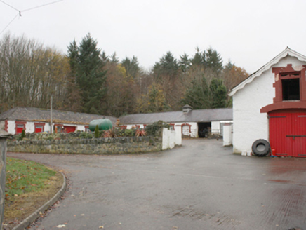 Birdstown HouseStables · 1.5 mi
Explorer Tom Birdstown House stables still stand proudly even though the big house burnt down in 1984. Right nearby, there’s a…
 Drumhaggart Flat CemeteryFlat cemetery · 1.6 mi
Explorer Tom Drumhaggart Flat Cemetery came to light in 1950 when six cists containing cremated remains were found. One held a small…
 Muff ForestWoodland walk · 1.9 mi
Explorer Tom Lisnagra Woods near Muff is part of a walk with a name that sounds like the opening of a Donegal legend: Grania's Gap.…
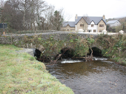 Glen BridgeBridge · 2.1 mi
Explorer Tom Glen Bridge in Ballyederowen claims its name actually means 'Glen where the cows get confused,' which is honestly very…
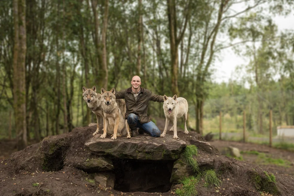 Wild IrelandWildlife sanctuary and family attraction · 2.5 mi
Explorer Tom Wild Ireland near Burnfoot gives you the rare Donegal dilemma of looking for bears and finding yourself just as…
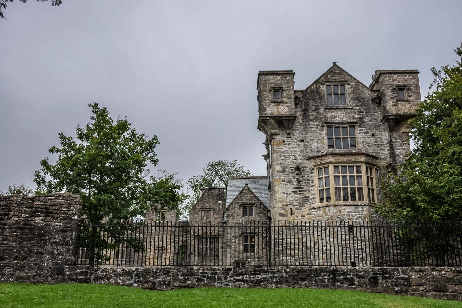 CastletownCastle, tower house · 4.7 mi
Explorer Tom Castletown used to be Fahan Castle, but it vanished so thoroughly that digging for it in 2007 found nothing but clay…
 Fahan GraveyardGraveyard · 4.8 mi
Explorer Tom Fahan Graveyard holds a cross-slab that measures exactly 2.1m high and only 0.18m thick, yet its top is deliberately…
 Greenan MountainMountain / peak · 5.7 mi
Explorer Tom Greenan Mountain is a peak in County Donegal with no recorded access details. The picture looks north towards Inch…
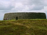 Grianán of AileachFairy fort / stone ringfort · 5.7 mi
Explorer Tom Grianán of Aileach has two roofed passages within its thick circular wall. Both curve toward the entrance and stop…
More mountains and hills in County Donegal · All of County Donegal

What do you know about this place?Tap to add a comment or ask a question