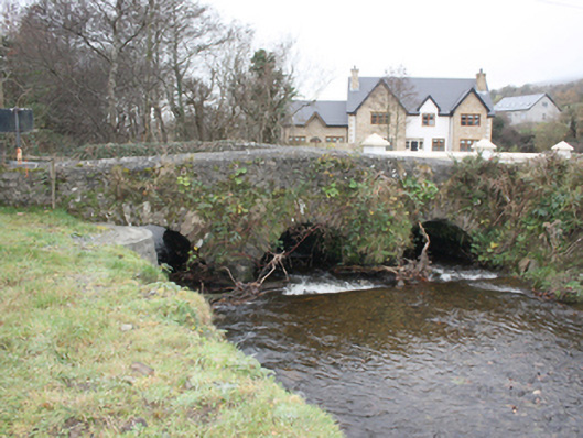
What is recorded here
Triple-arch road bridge over Burnfoot River, built c. 1800. Three round-headed arches, dressed squared rubble stone voussoirs, V-shaped rubble stone cutwaters to east side. Random coursed rubble stone spandrels and hump-back parapets, partly cement rendered to east side, saddle-backed cement rendered coping to parapets. Tarmac double carriageway.
This attractive stone bridge is a picturesque landmark in its surrounding rural landscape. Its good quality masonry is enhanced by the fine voussoirs of its arches and its hump-back parapets which create an elegant and attractive visual impact. This bridge has preserved its original fabric and is still fulfilling its original function, and thus attests to the quality of its construction and engineering. It is marked but not named on the Ordnance Survey first edition six-inch map, surveyed in 1833.
This does not grant access. Most recorded buildings are privately owned; view them only from public ground unless the owner allows entry.
Places near here
 Garvary Sandhill Fairy FortFairy fort / earthen ringfort · 158 yd
 Birdstown Housedemesne walls/gates/railings · 722 yd
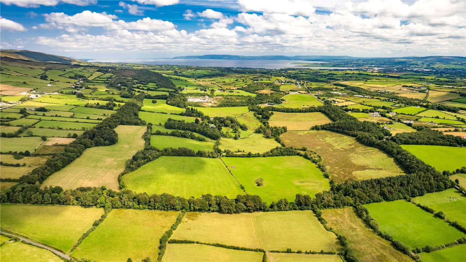 Former Garvary EnclosureEnclosure · 1205 yd
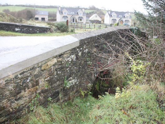 bridgebridge · 1410 yd
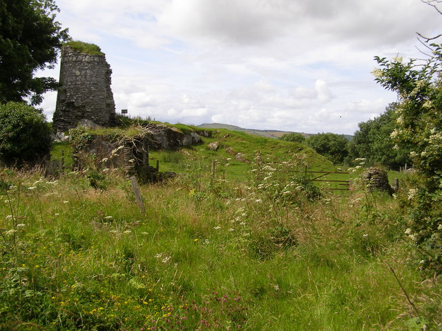 CASTLE & EARTHWORK ENCLOSURE: DOHERTY TOWER or CASTLE AILEACH in Elagh MoreCASTLE & EARTHWORK ENCLOSURE: DOHERTY TOWER or CASTLE AILEACH · 1.8 mi
 Scalp MountainMountain / peak · 1.8 mi
 Cashel HillMountain / peak · 2.0 mi
 Muff ForestWoodland walk · 3.2 mi
 Bawn in An Machaire Beag (tc Fathain)Bawn · 3.4 mi
 Grianán of AileachFairy fort / stone ringfort · 3.6 mi
 Eskaheen GraveyardGraveyard · 3.8 mi
 Mass RockNamed rock · 4.0 mi
Other information
Photo: National Inventory of Architectural Heritage · Website use allowed for educational or private purposes with source credit