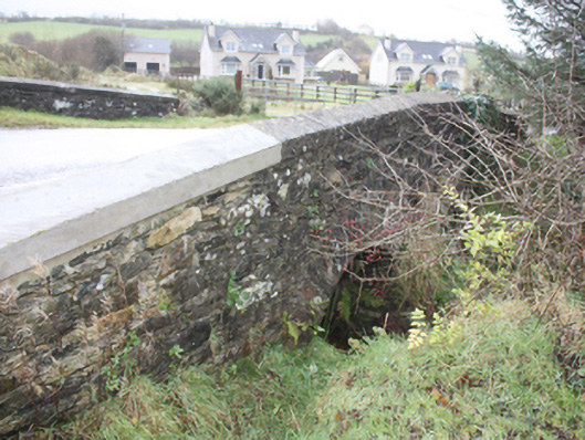
What is recorded here
Double-arch road bridge over stream. built c. 1800. Two round-headed arches, one blocked by vegetation, dressed rubble stone voussoirs, v-shaped rubble stone cutwaters with rubble stone domed cap. Random rubble stone spandrels and parapets, saddle-backed concrete coping to parapets with concrete repairs to north part of west parapet. Tarmac double carriageway
Located in a rural area, this modest but robust bridge is an appealing landmark with its small but well-crafted arches. Still fulfilling its vital function of spanning a stream on a rural road, this early-nineteenth century bridge demonstrates quality craftsmanship and engineering. It is marked on the Ordnance Survey first edition six-inch map, surveyed 1833.
This does not grant access. Most recorded buildings are privately owned; view them only from public ground unless the owner allows entry.
Places near here
 Former Dundrean Fairy FortFairy fort / ringfort · 1147 yd
 Birdstown Housedemesne walls/gates/railings · 1154 yd
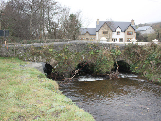 Glen Bridgebridge · 1410 yd
 Garvary Sandhill Fairy FortFairy fort / earthen ringfort · 1562 yd
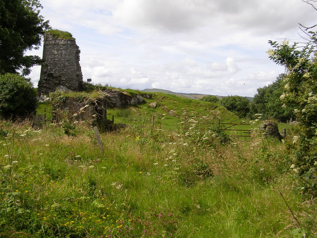 CASTLE & EARTHWORK ENCLOSURE: DOHERTY TOWER or CASTLE AILEACH in Elagh MoreCASTLE & EARTHWORK ENCLOSURE: DOHERTY TOWER or CASTLE AILEACH · 1708 yd
 Scalp MountainMountain / peak · 2.5 mi
 Cashel HillMountain / peak · 2.5 mi
 Muff ForestWoodland walk · 3.2 mi
 Siege of Derry Boom Stone"The Boom Stone" (Traditionally part of 17th century boom across the River Foyle during the Siege of Derry) · 3.3 mi
 Grianán of AileachFairy fort / stone ringfort · 3.4 mi
 Eskaheen GraveyardGraveyard · 3.9 mi
 Bawn in An Machaire Beag (tc Fathain)Bawn · 3.9 mi
Other information
Photo: National Inventory of Architectural Heritage · Website use allowed for educational or private purposes with source credit