
What is recorded here
Garvary Sandhill Fairy Fort is a ruined ringfort on a Donegal sandhill, its earthen bank erased except for a western fragment. The lost circle may have housed people, excluded cattle, or marked a boundary before memory faded. What remains is a shallow dish in good land, wide enough to walk across and empty enough to imagine.
Internal diam. 42m. A largely destroyed, subcircular area originally enclosed by an earthen bank most of which, except for the W side, is gone. It was situated on a natural sandhill rise in good land.
The above description was derived from the 'Archaeological Survey of County Donegal. A description of the field antiquities of the County from the Mesolithic Period to the 17th century.' Compiled by: Brian Lacey with Eamon Cody, Claire Cotter, Judy Cuppage, Noel Dunne, Vincent Hurley, Celie O'Rahilly, Paul Walsh and Seán Ó Nualláin (Lifford: Donegal County Council, 1983). In certain instances the entries have been revised and updated.
Date of upload: 22 September 2008
The monument record does not grant public access. Check the route and ask the landowner before entering private land.
- What survives
- Recorded monument
Places near here
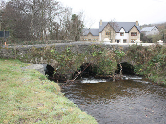 Glen Bridgebridge · 158 yd
 Birdstown Housedemesne walls/gates/railings · 851 yd
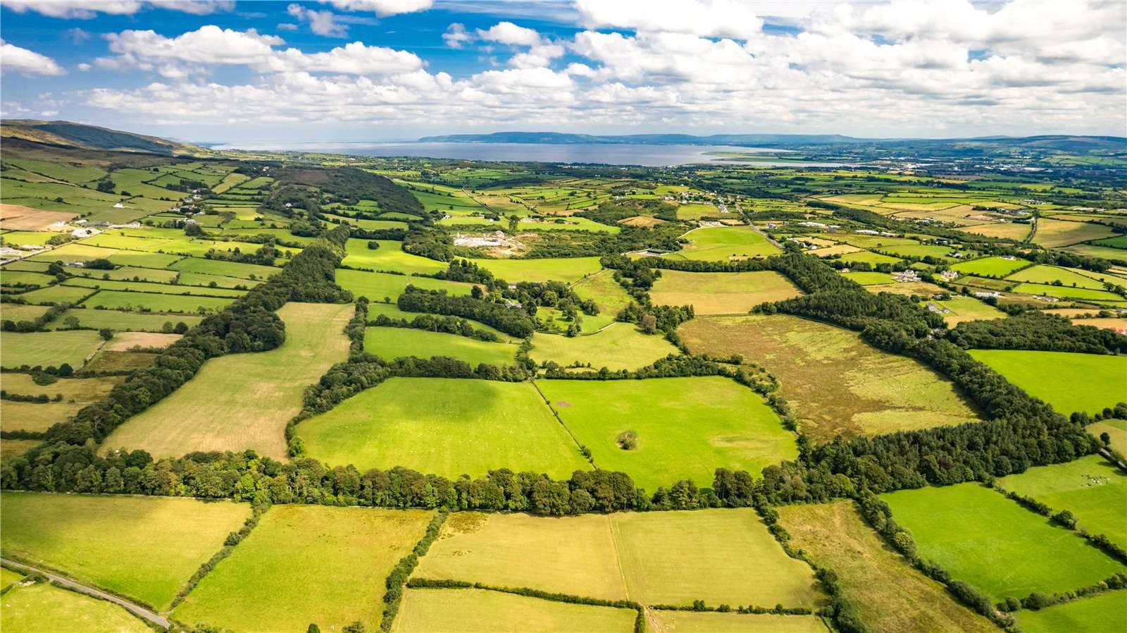 Former Garvary EnclosureEnclosure · 1050 yd
 Former Dundrean Fairy FortFairy fort / ringfort · 1.4 mi
 Scalp MountainMountain / peak · 1.7 mi
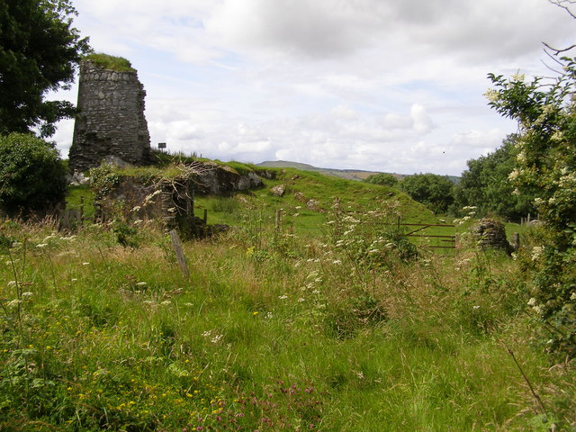 CASTLE & EARTHWORK ENCLOSURE: DOHERTY TOWER or CASTLE AILEACH in Elagh MoreCASTLE & EARTHWORK ENCLOSURE: DOHERTY TOWER or CASTLE AILEACH · 1.9 mi
 Cashel HillMountain / peak · 1.9 mi
 Muff ForestWoodland walk · 3.2 mi
 Bawn in An Machaire Beag (tc Fathain)Bawn · 3.3 mi
 Grianán of AileachFairy fort / stone ringfort · 3.6 mi
 Eskaheen GraveyardGraveyard · 3.9 mi
 Mass RockNamed rock · 3.9 mi
Other information
Photo: Credit not shown in the picture search · Rights wording not checked; contact us if this picture should be removed