What is recorded here
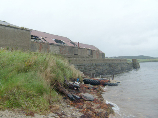
Pier\jetty, erected c. 1880, having randomly coursed rubble stone walls slight batter to base. Later added rendered block wall to parapet to east. Flight of cut stone steps from deck to sea level to the north-east and rubble stone slipway to the east side of pier. Collection of single-storey outbuildings to the south side of pier, built c. 1900 and extended to the south c. 1930, having rendered red brick walls, pitched corrugated-metal roofs, and square-headed openings. Pier located to the south side of Mulroy Bay and to the east of Carrickart. Mulroy House (see 40901712) to the south.
This functional simple pier\jetty at Rawros is an interesting addition to the maritime heritage of the Fanad\Mulroy Bay area. Although no longer in use and despite some later repairs and additions, it retains much of its original character and form. It is robustly constructed using local rubble stone masonry, which creates an appealing composition that survives in relatively good condition. It is one of a number of piers that were built along Mulroy Bay that together form an interesting group that is an integral element of the maritime heritage of the local area. This structure was probably originally built as part of a number piers developed around Mulroy Bay for the Fourth Earl of Leitrim of Mulroy House to the south (a process started by his predecessor in the 1870s) between c. 1880 and c. 1890. A weekly cargo service was introduced by the Earl in 1883 calling at Portrush, Derry, Greenock and Glasgow, and there were also cargo services to Malin Head, Tory Island, and Kincasslagh. These steamers also carried passengers and livestock. By 1886 over 2,000 tonnes of potatoes were transported annually from Mulroy to Glasgow. This pier was probably originally associated with the cargo trade as is suggested by the large outbuildings located to the south of the pier. Cattle pens were formerly located to the south of the pier, now demolished, which further supports this suggestion (Ordnance Survey twenty-five inch map of c. 1906). It may have been built in conjunction with another pier (see 40901771) at Leatbeg across Mulroy Bay. Further nearby piers (see 40901765) were associated with a ferry crossing Mulroy Bay, also developed by the Earls of Leitrim around the same time. This small-scale pier is an addition to the built heritage and social history of the local area, and provides a focal point along the scenic coastline to the east of Carrickart.
This does not grant access. Most recorded buildings are privately owned; view them only from public ground unless the owner allows entry.
Places near here
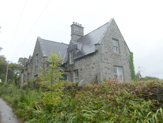 steward's house, worker's housesteward's house, worker's house · 140 yd
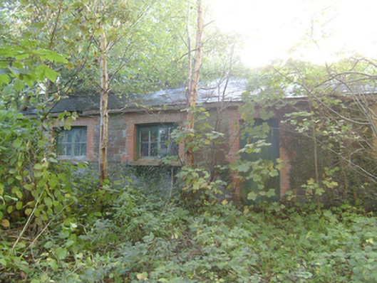 outbuilding, garden structure miscoutbuilding, garden structure misc · 302 yd
 Aghalatty Stone RingfortFairy fort / stone ringfort · 1448 yd
 Former Doocarrick Fairy FortFairy fort / ringfort · 1.4 mi
 Moross CastleCastle, tower house · 1.7 mi
 DowningsOfficial bathing water · 3.4 mi
 Àn Trá MorBeach / strand · 3.5 mi
 Cnoc na SleáMountain / peak · 3.8 mi
 The Murder HoleCave · 4.1 mi
 Cranberry IslandIslet · 4.3 mi
 Cliffs at Lamb's IslandPublicly named cliff or headland · 4.4 mi
 Cliffs north of DowniesPublicly named cliff or headland · 4.4 mi
Other information
Photo: National Inventory of Architectural Heritage · Website use allowed for educational or private purposes with source credit