What is recorded here
Surveyed by the ASI in 1971 and described as a monument that ha been 'demolished about a year ago. The site is a slight natural rise surrounded by a gently undulating and hummocky land of average to good pasture' (SMR File 12/07/1971). Depicted as a small mound on the latest ed. OS 6-inch map.
Compiled by: Caimin O'Brien
Date of upload: 12 February 2013
The monument record does not grant public access. Check the route and ask the landowner before entering private land.
- What survives
- Recorded monument
Places near here
 OutlinedFairy fort / earthen ringfort · 93 yd
 IndicatedEnclosure · 547 yd
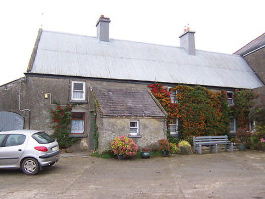 Garhy Lodgehouse · 748 yd
 Rockfield Househouse · 1031 yd
 CastleCastle, unclassified · 1.0 mi
 Killalea FortCastle, motte · 1.6 mi
 Sam's ParkForest · 3.0 mi
 KnockastiaMountain / peak · 3.9 mi
 Japanese pagoda treeJapanese pagoda tree · 4.3 mi
 Kilmalady HillMountain / peak · 4.9 mi
 Charles BianconiMemorial · 8.2 mi
 The Bob Traynor GalleryGallery · 8.3 mi