
What is recorded here
From the National Monuments Service (Archaeological Survey of Ireland) record SL016-086
Places near here
Photo credits
- National Inventory of Architectural Heritage
- Maker not stated on source page, en.wikipedia.org
- Robin Mais, Geograph · CC BY-SA 2.0
- Maker not stated on source page, ca.pinterest.com
- Golfing in Ireland; photographer not stated, Source publisher
- Maker not stated on source page, www.pinterest.com
- Maker not stated on source page, www.flickr.com
- Florentchevallier, Wikimedia Commons · CC BY-SA 4.0
- Maker not stated on source page, www.stefanschnebelt.com
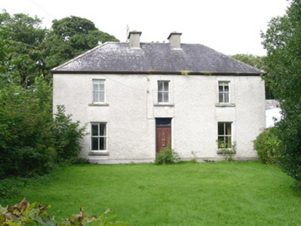 AshdaleHouse · 872 yd
Explorer Tom Ashdale in Scurmore hosted a fake royal visit that nobody can disprove because the queen actually just stood in the…
 Mound in Bartragh IslandMound · 1356 yd
Explorer Tom Mound in Bartragh Island sits at the island’s end with a view of the estuary. Its first owner probably had an escape…
 Enniscrone BeachBeach / strand · 1548 yd
Explorer Tom Enniscrone Beach stretches for about five kilometres along Sligo's coast, with dunes at its back and the open bay in…
 BaunrosmoreIslet · 1553 yd
Explorer Tom Baunrosmore: If Baunrosmore could talk to its younger self, it would probably say 'don't worry about the erosion, just…
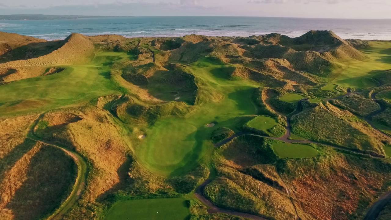 Enniscrone Golf ClubGolf course · 1722 yd
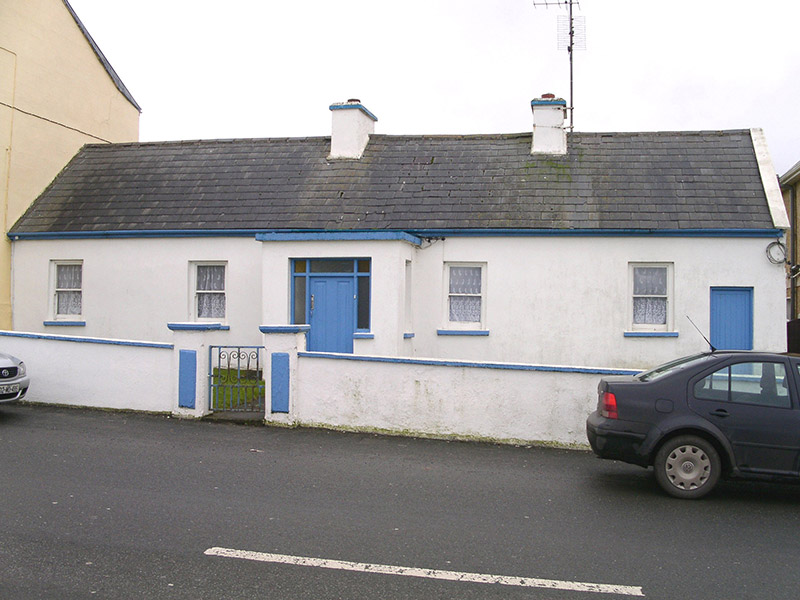 Saint Theresa'sHouse · 1.6 mi
Explorer Tom Saint Theresa’s in Carrowhubbuck South is one of the few little houses left that remembers when poets fell into ditches…
 Enclosure in Carrowhubbuck SouthEnclosure · 1.7 mi
Explorer Tom Enclosure in Carrowhubbuck South is tucked away in a private garden, which means you have to guess what’s going on…
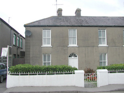 LorettoHouse · 1.7 mi
Explorer Tom Loretto in Carrowhubbuck South is standing tall on Main Street, one of a pair that definitely knows its worth. It’s got…
 Castle FieldsPark · 1.9 mi
Explorer Tom Castle Fields in County Sligo acts like it’s the most exclusive club in town, which is rich given how many people…
 Wild Atlantic Way: Inishcrone PierVisitor information · 1.9 mi
Explorer Tom Inishcrone Pier looks like it’s plotting an escape plan, possibly because it’s tired of being just a sign for people…
 O' Dowds CastleCastle · 1.9 mi
Explorer Tom O' Dowds Castle in County Sligo is having a bitter rivalry with a more famous castle down the road, claiming it was…
 ODowds CastleHouse, fortified house · 1.9 mi
Explorer Tom ODowds Castle in Cottlestown is a fortified house where the wind keeps picking on the walls because they look too smug.…
More archaeology and monuments in County Sligo · All of County Sligo

What do you know about this place?Tap to add a comment or ask a question