
What is recorded here
Situated in level pasture. Rectangular, three storey with attic, gable-ended, limestone built structure (19.8m ENE-WSW; 9m NNW-SSW ; Wall T 1.5m) with base batter. At ground floor level there are three slit opes in the SSE wall, two in the WSW wall and two in the NNW wall. All, with the exception of one round-headed…
Read the whole record
From the National Monuments Service (Archaeological Survey of Ireland) record SL022-009
Places near here
Photo credits
- Mike Searle, Geograph · CC BY-SA 2.0
- Maker not stated on source page, www.stefanschnebelt.com
- Castleconnor GAA Club drone footage; individual camera operator not stated, castleconnor.sligo.gaa.ie
- Maker not stated on source page, www.pinterest.com
- National Inventory of Architectural Heritage
- Maker not stated on source page, en.wikipedia.org
- Maker not stated on source page, www.flickr.com
- Golfing in Ireland; photographer not stated, Source publisher
- Maker not stated on source page, ru.pinterest.com
- Florentchevallier, Wikimedia Commons · CC BY-SA 4.0
 Castletown HouseCastle/fortified house · 1 yd
Explorer Tom Castletown House is still wearing its original lime render like it’s a trendy jacket from the early C17, which is…
 O' Dowds CastleCastle · 1 yd
Explorer Tom O' Dowds Castle in County Sligo is having a bitter rivalry with a more famous castle down the road, claiming it was…
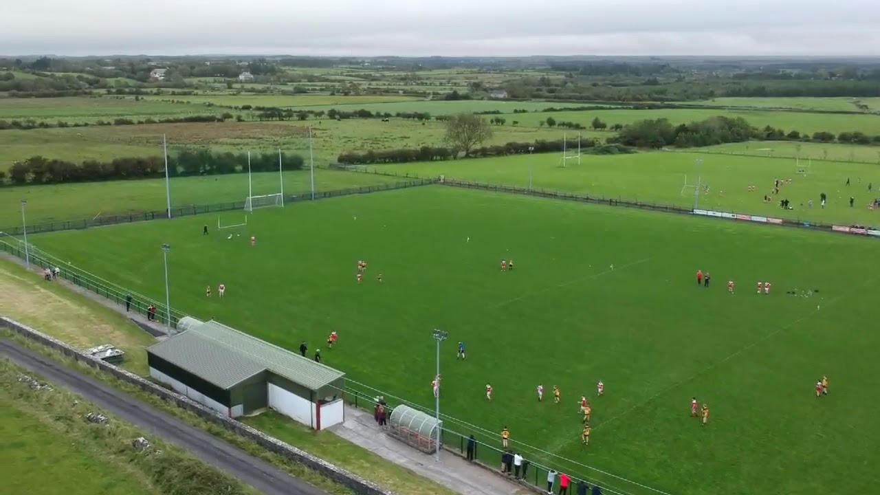 St. Brendan's Park, Castleconnor GAAGAA ground · 1597 yd
 Fairy fort / earthen ringfort in BunnanilraFairy fort / earthen ringfort · 1604 yd
Explorer Tom Fairy fort / earthen ringfort in Bunnanilra was probably built by someone who just wanted to see how much dirt they…
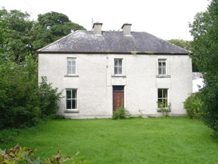 AshdaleHouse · 1.4 mi
Explorer Tom Ashdale in Scurmore hosted a fake royal visit that nobody can disprove because the queen actually just stood in the…
 Killanley Church of IrelandGraveyard · 1.6 mi
Explorer Tom Killanley Church of Ireland hosted a dance that went so far they danced right into the next parish. The locals are…
 Church in CastleconorChurch · 2.1 mi
Explorer Tom Church in Castleconor is sitting there with no exact location known, which means it hears everything through the walls…
 Enniscrone Golf ClubGolf course · 2.2 miEnclosure in Carrowhubbuck SouthEnclosure · 2.4 mi
Explorer Tom Enclosure in Carrowhubbuck South is tucked away in a private garden, which means you have to guess what’s going on…
 Castle FieldsPark · 2.6 mi
Explorer Tom Castle Fields in County Sligo acts like it’s the most exclusive club in town, which is rich given how many people…
 Enniscrone CastleRuins · 2.7 mi
Explorer Tom Enniscrone Castle hosted a dance that went so far that they never cleaned up the mess afterwards, honestly. The floor…
 Wild Atlantic Way: Inishcrone PierVisitor information · 2.9 mi
Explorer Tom Inishcrone Pier looks like it’s plotting an escape plan, possibly because it’s tired of being just a sign for people…
More castles and forts in County Sligo · All of County Sligo

What do you know about this place?Tap to add a comment or ask a question