What is recorded here
Immediately S of a public road running roughly NE-SW, in pasture. A large roughly circular grass-covered mound (diam. c. 60m) identified on an aerial photograph (GSI S479, 1973-7) with some small quarrying into the SE quadrant. Though this may be a natural mound it possible that it was used as a burial mound.
Compiled by: Jean Farrelly
Date of upload: 9 July 2020
Neolithic passage tomb; dates to the 4th–3rd millennium BCE. Its size and location suggest it was a significant communal burial and ceremonial site in the prehistoric landscape.
The monument record does not grant public access. Check the route and ask the landowner before entering private land.
- What survives
- Recorded monument
Places near here
 Enclosure in Gaulstown UpperEnclosure · 427 yd
 HachuedFairy fort / earthen ringfort · 1228 yd
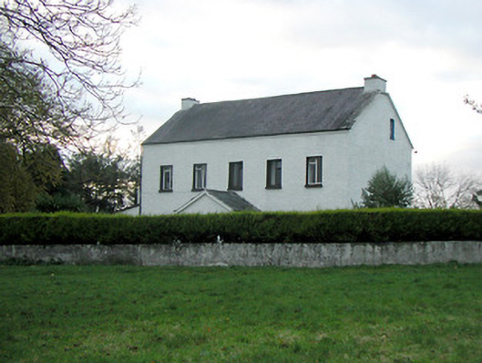 Mountgale Housefarm house · 1452 yd
 Gaulstown CastleCastle, unclassified · 1452 yd
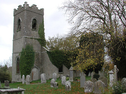 Ballinamara Churchchurch/chapel · 1.4 mi
 Site of CastleCastle, unclassified · 1.6 mi
 Brown's WoodWood · 3.5 mi
 The CopseWood · 3.6 mi
 Ballykeeffe Mass RockNamed rock · 3.7 mi
 Freshford LoopWalking route · 4.0 mi
 Ballykeefe QuarryCliff · 4.1 mi
 Ballykeefe AmphitheatreHeritage attraction · 4.2 mi