What is recorded here
Mountgale held a twin-backed ringfort wide enough for dozens of people to circle before surveyors marked it in 1839. It has since been levelled, perhaps by the same ordinary traffic of carts, cattle and claims that smoothing a border can feel like forgetting a neighbour. What remains is a absent shape in the pasture, large enough to have been lived in and quiet enough to have been erased without ceremony.
In pasture. A roughly circular bivallate enclosure (int. diam. c. 44m; overall diam. c. 60m) indicated on the 1st (1839) ed. OS 6-inch map and on the 1900 revision. A NW-SE field boundary runs along the outer bank from N-E-SE. It is evident from satellite imagery that the monument, along with the field boundary, has been levelled.
Compiled by: Jean Farrelly
Date of upload: 24 June 2020
The monument record does not grant public access. Check the route and ask the landowner before entering private land.
- What survives
- Recorded monument
Places near here
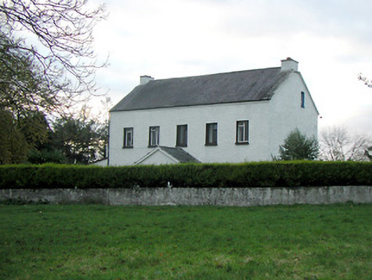 Mountgale Housefarm house · 576 yd
 IndicatedEnclosure · 1027 yd
 Enclosure in Gaulstown UpperEnclosure · 1107 yd
 Gaulstown CastleCastle, unclassified · 1.0 mi
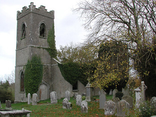 Ballinamara Churchchurch/chapel · 1.5 mi
 Bawn in BoolysheaBawn · 1.6 mi
 Ballykeeffe Mass RockNamed rock · 3.5 mi
 Brown's WoodWood · 3.7 mi
 Ballykeefe WoodForest · 3.8 mi
 Ballykeefe QuarryCliff · 4.0 mi
 Ballykeefe AmphitheatreHeritage attraction · 4.0 mi
 Saint Brigid's WellSpring · 4.0 mi