What is recorded here
Indicated as a circular enclosure (diam. c. 43m) on the 1st (1839) ed. OS 6-inch map with a barony boundary running NW-SE along the S edge of the monument, a field boundary running N-S along the E edge and another field boundary running northwestward from the NW quadrant. On the 1900 revision of the OS 6-inch map a field boundary is indicated defining the enclosure, with the S edge being defined by a townland boundary.
From the National Monuments Service (Archaeological Survey of Ireland) record KK018-039
Places near here
Photo credits
- National Inventory of Architectural Heritage
- A.-K. D., Wikimedia Commons · CC BY-SA 4.0
- kevin higgins, Geograph · CC BY-SA 2.0
- Public picture contributor, Wikimedia Commons · Public domain
- Antiqueight, Wikimedia Commons · CC BY-SA 4.0
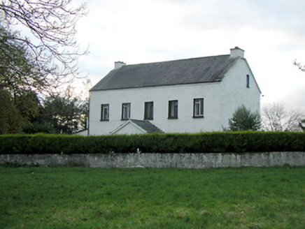 Mountgale HouseFarm house · 1227 yd
 Tullaroan ChurchChurch · 1.7 mi
 Bawn in BoolysheaBawn · 1.8 mi
 Grave YardGraveyard · 2.8 mi
_(page_1_crop).jpg/250px-Courtstown_Castle,_1832_(IA_jstor-30002726)_(page_1_crop).jpg "Photo: Public picture contributor, Wikimedia Commons · Public domain") CastleCastle, unclassified · 2.8 mi
CastleCastle, unclassified · 2.8 mi Ballykeeffe Mass RockNamed rock · 2.9 mi
 Ballykeefe WoodForest · 3.2 miBallykeefe QuarryCliff · 3.4 mi
 Saint Brigid's WellSpring · 3.6 mi
 Millennium WoodWood · 4.0 mi
 Holy well in Castleinch or InchyolaghanHoly well · 4.5 mi
 Graveyard in ThreecastlesGraveyard · 4.7 mi
More archaeology and monuments in County Kilkenny · All of County Kilkenny
What do you know about this place?Tap to add a comment or ask a question