
What is recorded here
In a slightly undulating reclaimed grass field, on plateau between valleys with good views in all directions. According to the Ordnance Survey letters (1839), 'There is a piece of the south wall of a castle in Gaulstown Townland; the walls three and a half feet [c. 1m] thick. They say it belonged originally to the Grace family' (O'Flanagan 1930, vol. 1, 208). The castle appears to be depicted on the 1st (1839) and subsequent 1900 revision of the 6-inch OS maps as a roofed square building (dims. c. 8m square). The castle is not visible at ground level.
Compiled by: Jean Farrelly
Date of upload: 21 December 2016
A local castle; wider significance not recorded.
The monument record does not grant public access. Check the route and ask the landowner before entering private land.
- What survives
- Recorded monument
Places near here
 Enclosure in Gaulstown UpperEnclosure · 1047 yd
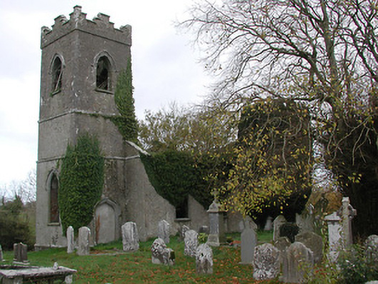 Ballinamara Churchchurch/chapel · 1087 yd
 Enclosure in Gaulstown LowerEnclosure · 1189 yd
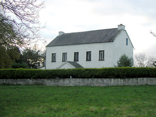 Mountgale Housefarm house · 1.2 mi
 Not indciatedCastle, unclassified · 1.7 mi
 Bawn in SartBawn · 1.8 mi
 Brown's WoodWood · 2.7 mi
 The CopseWood · 2.9 mi
 Freshford LoopWalking route · 3.3 mi
 Emma Jane Browne-ClaytonMemorial · 3.6 mi
 Graveyard in ThreecastlesGraveyard · 3.6 mi
 Ballykeeffe Mass RockNamed rock · 4.4 mi
Other information
Photo: Credit not shown in the picture search · Rights wording not checked; contact us if this picture should be removed