
What is recorded here
On level ground on the floor of a valley, in reclaimed grassland. There are fair views along and across the valley. An oval enclosure (diam. c. 35m N-S; c. 31m E-W) is indicated on the 1st (1839) ed. OS 6-inch map but not on the 1900 revision, suggesting it was levelled between 1839 and 1900. It is not visible at ground level. An undulating field boundary, running roughly NW-SE, which was erected between 1839 and 1900, appears to run through the S portion of the enclosure. Another enclosure (KK013-081----), now also levelled, is indicated on the 1st ed. OS 6-inch map c. 30m to the S and is currently S of the 19th-century field boundary.
Compiled by: Jean Farrelly
Date of upload: 30 March 2020
The monument record does not grant public access. Check the route and ask the landowner before entering private land.
- What survives
- Recorded monument
Places near here
 Enclosure in WallstownEnclosure · 1003 yd
 Gaulstown CastleCastle, unclassified · 1189 yd
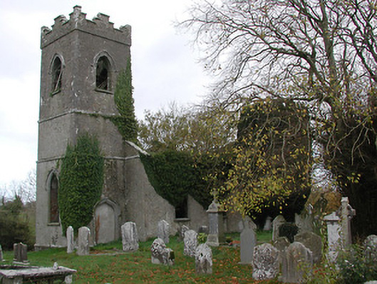 Ballinamara Churchchurch/chapel · 1273 yd
 Enclosure in Ballydowel BigEnclosure · 1721 yd
 Not indciatedCastle, unclassified · 1.1 mi
 Church in ruinsChurch · 1.3 mi
 Brown's WoodWood · 2.1 mi
 The CopseWood · 2.2 mi
 Freshford LoopWalking route · 2.6 mi
 Emma Jane Browne-ClaytonMemorial · 3.0 mi
 Graveyard in ThreecastlesGraveyard · 3.6 mi
 Clomantagh HillMountain / peak · 5.7 mi
Other information
Photo: Credit not shown in the picture search · Rights wording not checked; contact us if this picture should be removed