
What is recorded here
On a bluff high above a small stream cut into deep gorge immediately to the S, in reclaimed grassland. There are good views in all directions. Not indicated on the 1st (1839) ed. OS 6-inch map or on the 1900 revision. Indicated as ‘Rath’ on the Grand Jury barony map of Crannagh, 1812-24. Though not visible at ground level, it is visible as a cropmark (diam. c. 45m NE-SW) on satellite imagery (Google Earth imagery date 8 March 2010). The SE quadrant appears to be planted in woodland at the edge of the gorge.
See attached:
KK013-063----_01 Google Earth image (imagery date 8 March 2010)
Compiled by: Jean Farrelly
Date of upload: 24 March 2020
The monument record does not grant public access. Check the route and ask the landowner before entering private land.
- What survives
- Recorded monument
Places near here
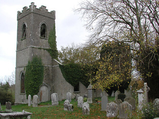 Ballinamara Churchchurch/chapel · 1028 yd
 Trinity WellHoly well · 1262 yd
 Enclosure in Gaulstown LowerEnclosure · 1721 yd
 Bawn in SartBawn · 1.1 mi
 Gaulstown CastleCastle, unclassified · 1.2 mi
 Saint Nicholas's Catholic Churchchurch/chapel · 1.5 mi
 Brown's WoodWood · 2.0 mi
 The CopseWood · 2.3 mi
 Freshford LoopWalking route · 2.4 mi
 Emma Jane Browne-ClaytonMemorial · 2.6 mi
 Graveyard in ThreecastlesGraveyard · 2.6 mi
 Anker's IslandIsland · 8.1 mi
Other information
Photo: Credit not shown in the picture search · Rights wording not checked; contact us if this picture should be removed