What is recorded here
Huntstown held a circular earthen ringfort with an outer ditch and inner bank before Land Project works removed it in the 1950s. The surviving quadrant carried thorn trees and showed digging marks, suggesting people still lived beside or took from its ridge. What looked like a fairy fort may have been an ordinary home, its boundary erased only after resisting change for centuries.
Indicated on the 1st (1839) ed. OS 6-inch map as a D-shaped enclosure (dims. c. 50m NW-SE; c. 17m NE-SW) with a field boundary running NW-SE along the W side, however, this may represent only the E portion of the original enclosure. The enclosure is not indicated on the 1900 revision. In 1951 it is described as, 'the N.E. quadrant of a circular earthen ringfort with outer ditch and inner bank. The latter carried a relatively heavy growth of thorn trees and there were indications that it had been dug in places' (NMI Correspondence files, 3 April 1951). The moment was removed in the 1950s as part of the Land Project works (ibid.).
Compiled by: Jean Farrelly
Date of upload: 6 July 2020
The monument record does not grant public access. Check the route and ask the landowner before entering private land.
- What survives
- Recorded monument
Places near here
 HachuedFairy fort / earthen ringfort · 193 yd
 St. Margarets WellHoly well · 1066 yd
 Site of CastleCastle, unclassified · 1627 yd
 Tullaroan ChurchChurch · 1681 yd
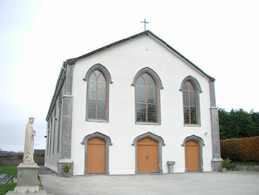 Catholic Church of the Assumptionchurch/chapel · 1735 yd
 Gaulstown CastleCastle, unclassified · 1.5 mi
 Killeen Fox CovertForest · 2.9 mi
 Ballykeeffe Mass RockNamed rock · 3.2 mi
 Ballykeefe WoodForest · 3.5 mi
 Ballykeefe QuarryCliff · 3.6 mi
 Ballykeefe AmphitheatreHeritage attraction · 3.6 mi
 Saint Brigid's WellSpring · 4.1 mi