
What is recorded here
Situated on a N-facing slope in grassland that falls south to the Broadmeadow river. This was a circular mound (diam. 16m; H 2.5m) with a lone bush on the top. A cross was erected on the mound in modern times (Healy 1975, 22). Mound has been quarried /cut away to north-east and there is some evidence for poaching. Mound topped with a lone bush and an ESB pole (inserted post-1992). Terraced to east and south-some stones visible (c.5m width, 1m H.).
Compiled by: Geraldine Stout
Updated by: Christine Baker
Date of upload: 02 January 2015
The monument record does not grant public access. Check the route and ask the landowner before entering private land.
- What survives
- Recorded monument
Places near here
 Field system in FieldstownField system · 319 yd
 Site of St Brides ChurchChurch · 326 yd
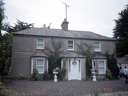 farm housefarm house · 1186 yd
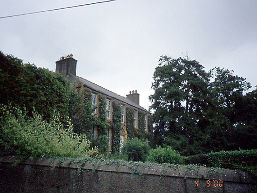 Rowlestown Househouse · 1187 yd
 Graveyard in KillosseryGraveyard · 1216 yd
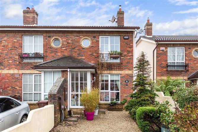 CastleCastle, tower house · 1660 yd
 Wooly Ward's FarmHeritage attraction · 1.5 mi
 Freedagh MoatCastle, motte · 1.9 mi
 AshbourneMemorial · 2.7 mi
 St Cronans WellSpring · 3.6 mi
 St. John's WellSpring · 3.9 mi
 The JackoWood · 4.0 mi
Other information
Photo: Credit not shown in the picture search · Rights wording not checked; contact us if this picture should be removed