
What is recorded here
On a gentle SW-facing slope in pasture. Depicted as an oval enclosure with the designation ‘Fort’ on the 1837 edition of the OS 6-inch map. On the OS 25-inch plan (surveyed 1911), it is shown as a small subrectangular earthwork (overall dims. c. 30m NNE–SSW; c. 25m NW–SE). No entrance feature is indicated. The monument is overgrown with ash trees, hawthorn and briars and it has been severely defaced as a result of quarrying. It appears to be a mound and is now defined by bank of earth and gravel (Wth c. 4.5m; H 1.8m), crescent shaped in plan, curving from NNW-E-S (int. dim. N-S 9m). Both faces of the bank as well as the interior have been extensively quarried out. Slight traces of a fosse are evident from ENE-E-S.
Compiled by: Patrick F. O'Donovan
Date of upload: 31 January 2013
The monument record does not grant public access. Check the route and ask the landowner before entering private land.
- What survives
- Recorded monument
Places near here
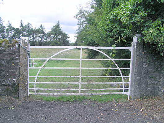 gates/railings/wallsgates/railings/walls · 1285 yd
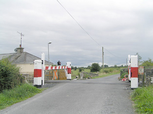 level crossinglevel crossing · 1344 yd
 Partially hachuredFairy fort / earthen ringfort · 1368 yd
 IndicatedFairy fort / earthen ringfort · 1424 yd
 Silver FirSilver Fir · 1589 yd
 MoatawardCastle, motte and bailey · 1.9 mi
 CastleCastle, motte · 2.0 mi
 Sweet ChestnutSweet Chestnut · 2.1 mi
 Edgeworthstown BypassMemorial · 2.7 mi
 Granard MotteMotte-and-bailey castle remains · 7.4 mi
 1798 Monumentmonument · 7.5 mi
 CartronfreeMountain / peak · 10 mi
Other information
Photo: Credit not shown in the picture search · Rights wording not checked; contact us if this picture should be removed