What is recorded here
Castle Barne vanished before human memory, leaving only a map mark and a land grant. James Younge received the castle, town and lands in 1620, yet no wall, ditch or gate has answered that promise. The absence is the shape of Barne: a room with no floor, where ownership and forgetting collide.
A land grant to James Younge in 1620 included the 'castle, town and lands of Barne' (Cal. pat. rolls Ire., Jas I, 492). The castle is indicated on an early 17th-century map of Ardagh barony (BL, Cotton MS Augustus I.ii.25). Its precise location has not been identified. (Anon. 1826 Inq. 12 Car I)
Compiled by: Caimin O'Brien
Date of upload: 1 October 2012
James Younge was granted the castle, town, and lands of Barne in 1620; its inclusion in an early 17th-century map highlights its status as a notable structure in Ardagh barony during the period of English plantation in Ireland.
The monument record does not grant public access. Check the route and ask the landowner before entering private land.
- What survives
- Recorded monument
Places near here
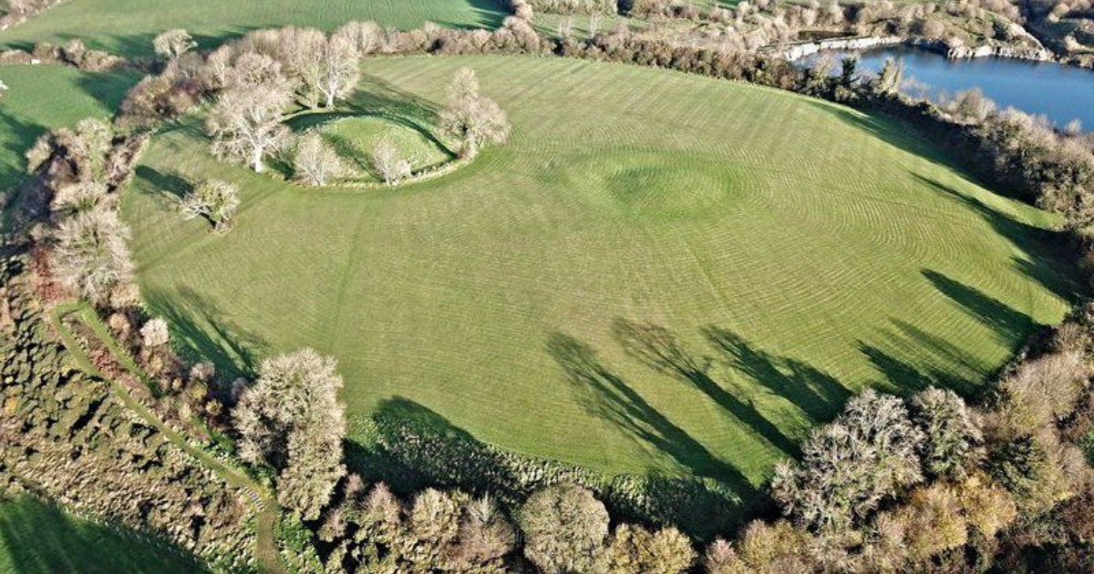 Fairy fort / earthen ringfort in BarneFairy fort / earthen ringfort · 246 yd
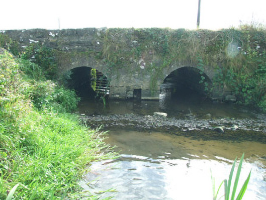 bridgebridge · 747 yd
 IndicatedEnclosure · 1028 yd
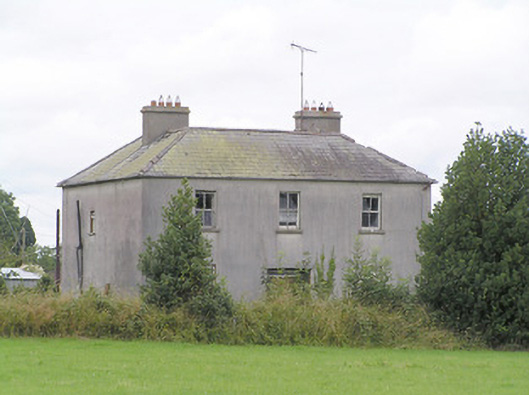 Lissanure Househouse · 1219 yd
 MoatCastle, motte · 1382 yd
 MoatawardCastle, motte and bailey · 1.0 mi
 Edgeworthstown BypassMemorial · 1.3 mi
 Silver FirSilver Fir · 2.2 mi
 ShawbrookForest · 3.4 mi
 Granard MotteMotte-and-bailey castle remains · 8.0 mi
 1798 Monumentmonument · 8.1 mi
 Graveyard in Curry (ardagh By., Coolamber Ed)Graveyard · 9.2 mi