
What is recorded here
From the National Monuments Service (Archaeological Survey of Ireland) record WM020-005
Places near here
Photo credits
- National Inventory of Architectural Heritage
- Maker not stated on source page, www.alamy.com
- Maker not stated on source page, en.wikipedia.org
- Eric Jones, Geograph · Creative Commons Attribution-ShareAlike 2.0
- Maker not stated on source page, commons.wikimedia.org
- Maker not stated on source page, in.pinterest.com
- Maker not stated on source page, fi.pinterest.com
- Maker not stated on source page, www.dreamstime.com
 Clondrisse HouseOutbuilding · 1153 yd
Explorer Tom Clondrisse House outbuilding is so well-built that the main house gets jealous and hides in the shadows behind it. It…
 Killynan HouseFarmyard complex · 1334 yd
Explorer Tom Killynan House in Killynan is an extensive collection of outbuildings associated with a now-demolished house, featuring…
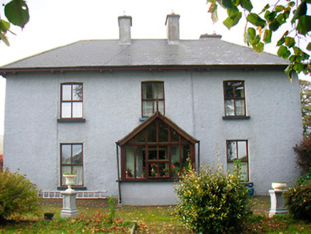 RamparkFarm house · 1625 yd
Explorer Tom Rampark was once ruled by a goat who decided the overhanging eaves were its personal balcony. The farmer eventually…
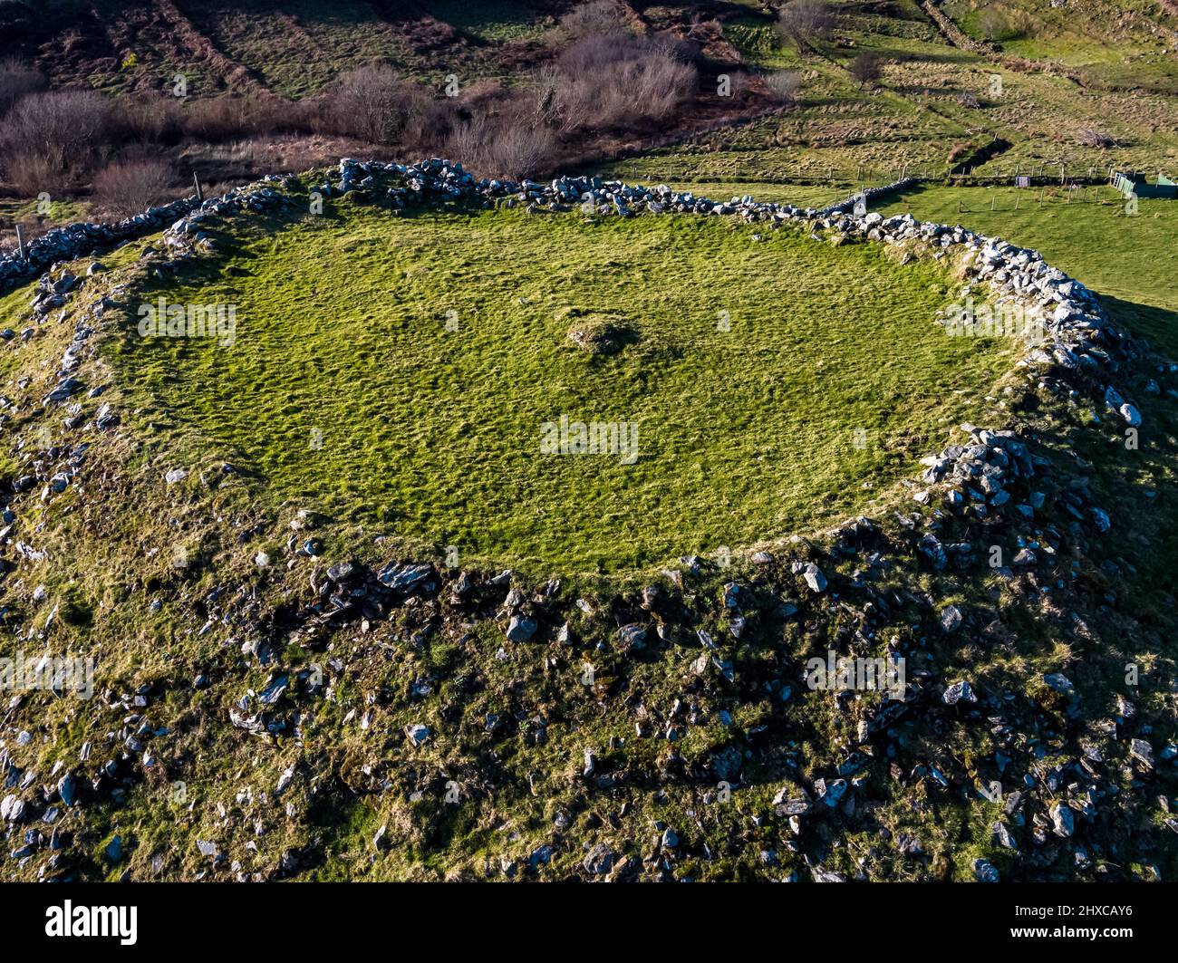 Fairy fort / ringfort in BallycorFairy fort / ringfort · 1.4 mi
Explorer Tom The local sheep in Ballycor think this ringfort is just a fancy bed for napping all day long. They’ve seen nothing but…
 Fairy fort / earthen ringfort in TevrinFairy fort / earthen ringfort · 1.6 mi
Explorer Tom Fairy fort / earthen ringfort in Tevrin has a superstition that if you trip over the bank, you’ll find a hidden…
 Saint Joseph's Catholic ChurchChurch/chapel · 1.6 mi
Explorer Tom Saint Joseph’s Church in Tevrin has had so many names that it gave up trying to remember them all and just settled on…
 Earthwork in ClonlostEarthwork · 1.7 mi
Explorer Tom Earthwork in Clonlost took about four hundred cups of tea to build, I reckon. It’s a fort on a rise that used to have…
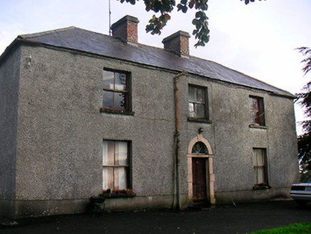 Newgrove HouseFarm house · 1.7 mi
Explorer Tom Newgrove House in Loughagar More is derelict but still acting like it's hosting a very exclusive garden party that…
 CastleCastle, unclassified · 1.9 mi
Explorer Tom There’s another castle in Clonlost that might be under Clonlost House, which is like finding your keys inside your own…
 Standing stone in Balrath North (moyashel & Magheradernon By.)Standing stone · 2.1 mi
Explorer Tom Standing stone in Balrath North started a whole parish argument just by standing there looking slightly smug and…
 Flat cemetery in Edmondstown (farbill By.)Flat cemetery · 2.3 mi
Explorer Tom Flat cemetery in Edmondstown, County Westmeath used to be home to the best matchmaker in the county, who specialized in…
 Church of St. John the Baptist GraveyardGraveyard · 2.4 mi
Explorer Tom Church of St. John the Baptist Graveyard in County Westmeath has very strong opinions on modern buildings, especially…
More archaeology and monuments in County Westmeath · All of County Westmeath

What do you know about this place?Tap to add a comment or ask a question