What is recorded here
A roughly circular round-topped, grass-covered earthen mound (H at NW 0.2m), scarped about base of perimeter. Situated a short distance NE of a partially destroyed rath (CV044-011----).
The above description is derived from the published 'Archaeological Inventory of County Cavan' (Dublin: Stationery Office, 1995). In certain instances the entries have been revised and updated in the light of recent research.
Date of upload/revision: 22 December 2008
A local ancient tomb; wider significance not recorded.
The monument record does not grant public access. Check the route and ask the landowner before entering private land.
- What survives
- Recorded monument
Places near here
 Church in EdenburtChurch · 698 yd
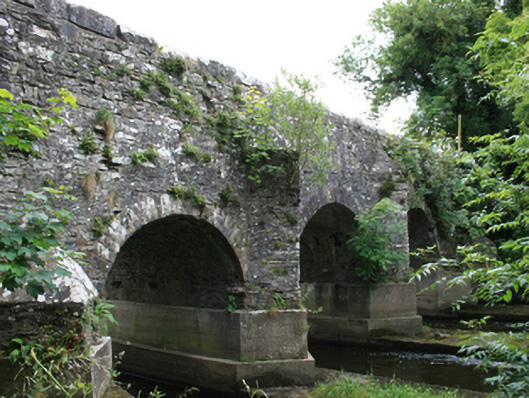 O'Daly's Bridgebridge · 1163 yd
 FortsCastle, motte and bailey · 1283 yd
 Mote of DerverArchaeological place · 1284 yd
 Feegat ForestWood · 1.5 mi
 EnclosureEnclosure, large enclosure · 1.7 mi
 Woodpole Fox CovertWood · 1.8 mi
 Balgree MoteCastle, motte · 1.8 mi
 IslandboyIslet · 2.6 mi
 Crow IslandIslet · 3.0 mi
 MaperathMountain / peak · 3.1 mi
 Oliver Plunkett memorialMemorial · 3.9 mi