
What is recorded here
From the National Monuments Service (Archaeological Survey of Ireland) record LI028-146
Places near here
Photo credits
- National Inventory of Architectural Heritage
- Mike Searle, Geograph · CC BY-SA 2.0
- Maker not stated on source page, nigelborrington.com
- Maker not stated on source page, www.neverstoptraveling.com
- Brendan Gleeson / The Echo (explicit article photo credit), www.echolive.ie
- Maker not stated on source page, en.wikipedia.org
- Maker not stated on source page, www.gettyimages.ca
- Kmcnamee, Wikimedia Commons · CC BY-SA 4.0
 Reens HouseHouse · 1369 yd
Explorer Tom Reens House in Reens West is suspicious of the postman, thinking he’s there to deliver bad news about William Smith…
 Elm HillCountry house · 1.1 mi
Explorer Tom Elm Hill is secretly proud of the one potato that grew through its floor last winter. It’s a grand old house falling…
 bridge1.3 mi
Explorer Tom Bridge in Skehanagh is run by a dog named Buster who checks every wheel. The limestone arch is solid, even if the dog…
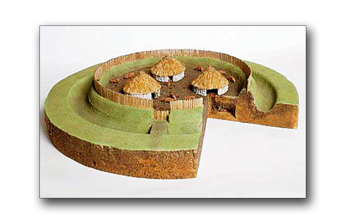 Fairy fort / earthen ringfort in CoolybrownFairy fort / earthen ringfort · 1.5 mi
Explorer Tom This fairy fort in Coolybrown has had more names than I’ve had girlfriends, which is saying something for my track…
 Grange HouseHouse · 1.6 mi
Explorer Tom Grange House in Grange Lower gave up its slate roof for Lent but put it back on because it looked too naked without it.…
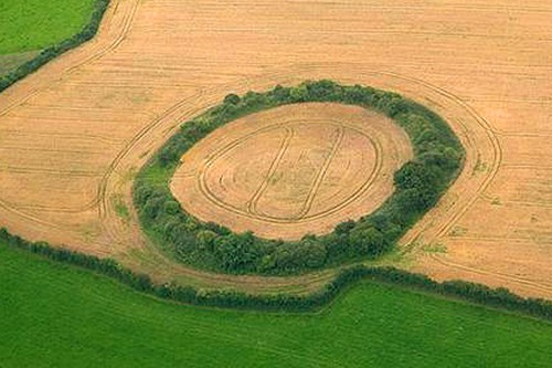 Fairy fort / earthen ringfort in BallingowanFairy fort / earthen ringfort · 1.7 mi
Explorer Tom Fairy fort / earthen ringfort in Ballingowan had a matchmaker who worked there, trying to pair off the entrance with…
 Ardagh Railway StationRailway station · 1.7 mi
Explorer Tom Ardagh Railway Station was nearly sold as a horse because the buyer didn’t know what a gabled stone structure with…
 Cathair MaothailHouse, steward's house · 1.8 mi
Explorer Tom Cathair Maothail in Cahermoyle gave up its bargeboard decorations for Lent, but kept them for showmanship. It’s a…
 Knockaderry GAA pitchGAA ground · 2.6 mi
 Famine GraveyardGraveyard · 2.6 mi
Explorer Tom Famine Graveyard is hiding a treasure that is definitely an old biscuit tin, not gold. Some people swear they heard a…
 Mapped cemeteryCemetery · 5.6 mi
Explorer Tom Mapped cemetery in County Limerick is sick of being asked how deep the graves are, because the answer is always 'deeper…
 Páirc na nGael, MonageaGAA ground · 5.8 mi
More archaeology and monuments in County Limerick · All of County Limerick

What do you know about this place?Tap to add a comment or ask a question