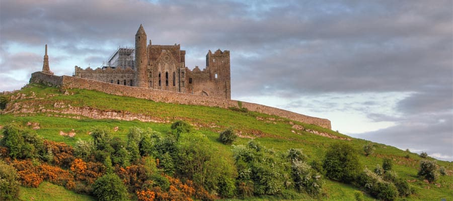
What is recorded here
On steep slope, near summit of knoll. Roughly circular mound of earth and stone (H 1.05m; 7m E-W; 5.6m N-S). Used as dump for field stones in recent times. (CMMS).
The above description is derived from the published 'Archaeological Inventory of County Cork. Volume 1: West Cork' (Dublin: Stationery Office, 1992). In certain instances the entries have been revised and updated in the light of recent research.
Date of upload/revision: 14 January 2009
A local ancient tomb; wider significance not recorded.
The monument record does not grant public access. Check the route and ask the landowner before entering private land.
- What survives
- Recorded monument
Places near here
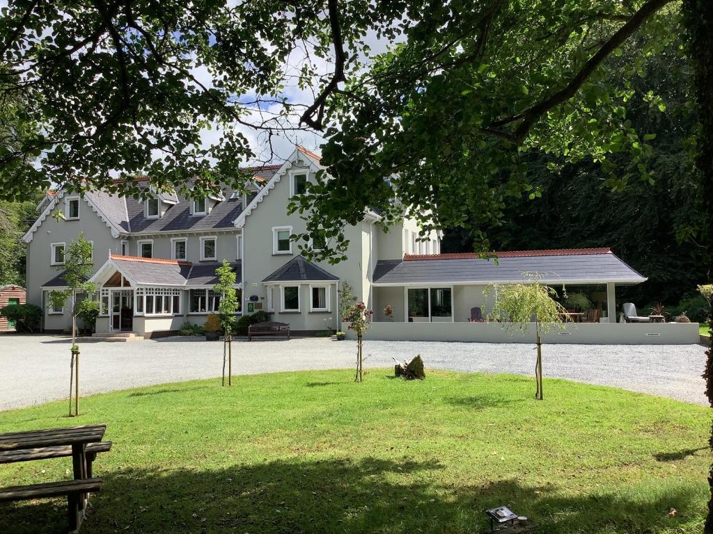 Fulacht fia in Tullig (carbery East (w.d) By.)Fulacht fia · 843 yd
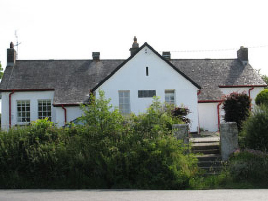 schoolschool · 1294 yd
 William Thompson MemorialMemorial · 1316 yd
 Burial ground in Gortroe (carbery E. (w.d) By., Kilmacabea Par.)Burial ground · 1360 yd
 Connonagh Househouse · 1.1 mi
 Castle SalemCastle · 1.4 mi
 Jeremiah O'Donovan RossaMemorial · 1.5 mi
 CarrigfaddaMountain / peak · 1.9 mi
 Walk 1 - Drombeg Standing Stone Circle (7 - 9 km)Walking route · 3.1 mi
 Drombeg Stone CircleArchaeological place · 3.1 mi
 Drombeg Fulacht Fia and RuinsVisitor information · 3.1 mi
 Leap waterfallHeritage attraction · 3.4 mi
Other information
Photo: Credit not shown in the picture search · Rights wording not checked; contact us if this picture should be removed