
What is recorded here
From the National Monuments Service (Archaeological Survey of Ireland) record ME049-014
Places near here
Photo credits
- National Inventory of Architectural Heritage
- Maker not stated on source page, www.geograph.ie
- Maker not stated on source page, en.wikipedia.org
- Maker not stated on source page, nl.pinterest.com
- Scaramanga731, Wikimedia Commons · CC BY-SA 4.0
- Maker not stated on source page, ru.pinterest.com
- Maker not stated on source page, commons.wikimedia.org
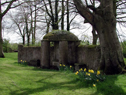 Larchill HouseFolly · 1290 yd
Explorer Tom Larchill House in Phepotstown is throwing a fancy party I wasn't invited to, which is rude. Rumor says there's a…
 Rodanstown C of I Parish Church, site ofRuins · 1.1 mi
Explorer Tom Rodanstown C of I Parish Church, Site of in County Meath is where a giant once sneezed so hard he blew the roof off, or…
 Fairy fort / earthen ringfort in Piercetown (deece Upper)Fairy fort / earthen ringfort · 1.2 mi
Explorer Tom Fairy fort / earthen ringfort in Piercetown is playing hard to get. The Vikings got lost looking for it and blamed the…
 Church (in Ruins)Church · 1.2 mi
Explorer Tom Church in Balfeaghan is sitting on a slope like it’s judging your outfit. It’s got headstones from the 1850s to now…
 The ShrubberyHouse · 1.6 mi
Explorer Tom The Shrubbery in Kilcock looks like it's trying to outgrow its own shadow. Those wings are bigger than the main house…
 vent pipe1.6 mi
Explorer Tom Vent pipe in Kilcock has a secret talent for making a very specific whistling sound when the wind blows from the…
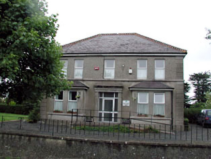 Whitestown HouseHouse · 1.6 mi
Explorer Tom Whitestown House is called 'White' but the map makers got completely lost on its location. It was a medical center, so…
 Kilcock Garda Síochána StationGarda station/constabulary barracks · 1.6 mi
Explorer Tom Kilcock Garda Station is sulking because the weather won't stop raining on its head. It used to be a barracks, now it's…
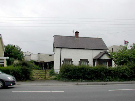 SonasHouse · 1.6 mi
Explorer Tom Sonas in Kilcock is a local authority house that’s had more changes than my hairdo at a wedding. I bet its New Year's…
 Allen BridgeBridge · 1.6 mi
Explorer Tom Allen Bridge in Boycetown is planning its retirement by just standing there on the Royal Canal and pretending it isn’t…
 Coffin-resting stone in KilcockCoffin-resting stone · 1.7 mi
Explorer Tom Coffin-resting stone in Kilcock got used because people wanted to pay before the burial happened. It’s a block of stone…
 Saint Joseph CemeteryGraveyard · 1.8 mi
Explorer Tom Saint Joseph Cemetery is feuding with the next village over something daft, probably who has the best potatoes or the…
More archaeology and monuments in County Meath · All of County Meath

What do you know about this place?Tap to add a comment or ask a question