What is recorded here
Edward O’Regan identified a ghostly ring in the Piercetown fields where a wide ditch still cuts through the land. The missing entrance and straight field drain suggest the fort surrendered its shape to human convenience, yet the circular memory remains visible when crops grow unevenly.
Situated on a fairly level landscape. The cropmark of a subcircular area (diam. c. 35-40m) defined by a single wide fosse feature (Wth c. 3-4m) is visible on Google Earth (28/06/2018). No entrance is visible and the fosse is incorporated in a relict NNE-SSW field drain visible as a cropmark. It was first reported by Edward O’Regan.
Compiled by: Michael Moore
Date of upload: 20 December 2018
The monument record does not grant public access. Check the route and ask the landowner before entering private land.
- What survives
- Recorded monument
Places near here
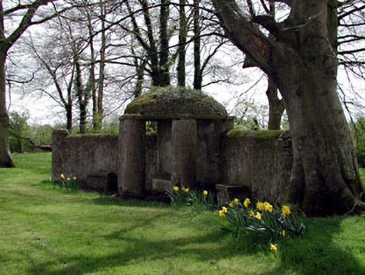 Larchill Housefolly · 1607 yd
 Larchil Arcadian GardensHeritage attraction · 1758 yd
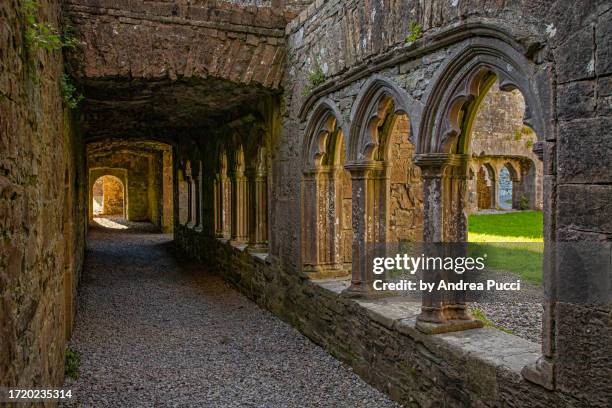 Brides WellHoly well · 1.2 mi
 Kilgar GardensHeritage attraction · 1.2 mi
 Church (in Ruins)Church · 1.3 mi
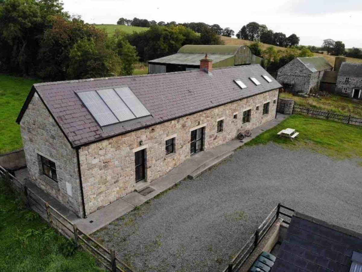 Enclosure in CalgathEnclosure · 1.6 mi
 Rodanstown fortCastle, motte · 1.9 mi
 Mulhussy CastleCastle, tower house · 2.2 mi
 MullaghMountain / peak · 2.3 mi
 1798 MemorialMemorial · 2.6 mi
 European ashEuropean ash · 2.7 mi
 Old Bog Road made famous by Teresa Bryton 1868-1943Memorial · 3.6 mi