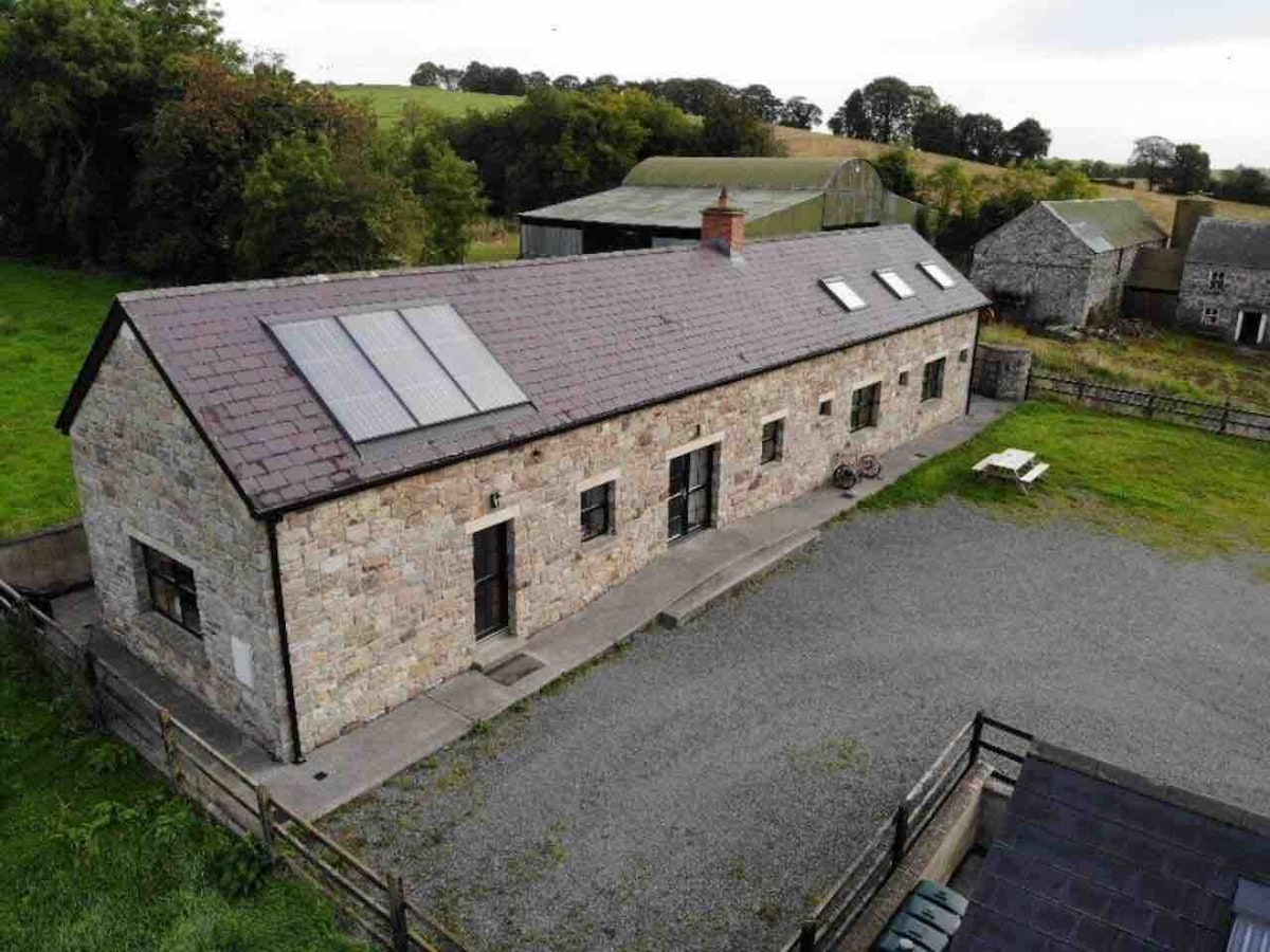
What is recorded here
Located on a gentle S-facing slope and on what might once have been demesne land of Bride’s Stream House c. 200m to the SSW. A circular grass-covered area (diam. c. 25m) defined by a traces of a fosse NW-SE or possibly a slight bank SE-SW is visible on Google Earth (Mar. 2020, Mar. 2022). It could have an outer bank and it is bisected by a WNW-ESE relict field drain. This emerges from a NNE-SSW mapped field bank at W that could truncate the monument at this side. Relict cultivation ridges in the surrounding field do not impinge on the enclosure. It was first reported by Jean Charles Caillére, and it is also faintly visible on Digital Globe (c. 2013), Apple Maps and OSI images (1995).
See the attached enhanced view from Google Earth (Mar. 2022)
Compiled by: Michael Moore
Date of upload: 12 July 2022
A local fairy fort (ringfort/rath); wider significance not recorded.
The monument record does not grant public access. Check the route and ask the landowner before entering private land.
- What survives
- Recorded monument
Places near here
 Rodanstown fortCastle, motte · 919 yd
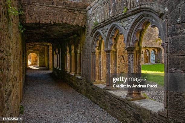 Brides WellHoly well · 1122 yd
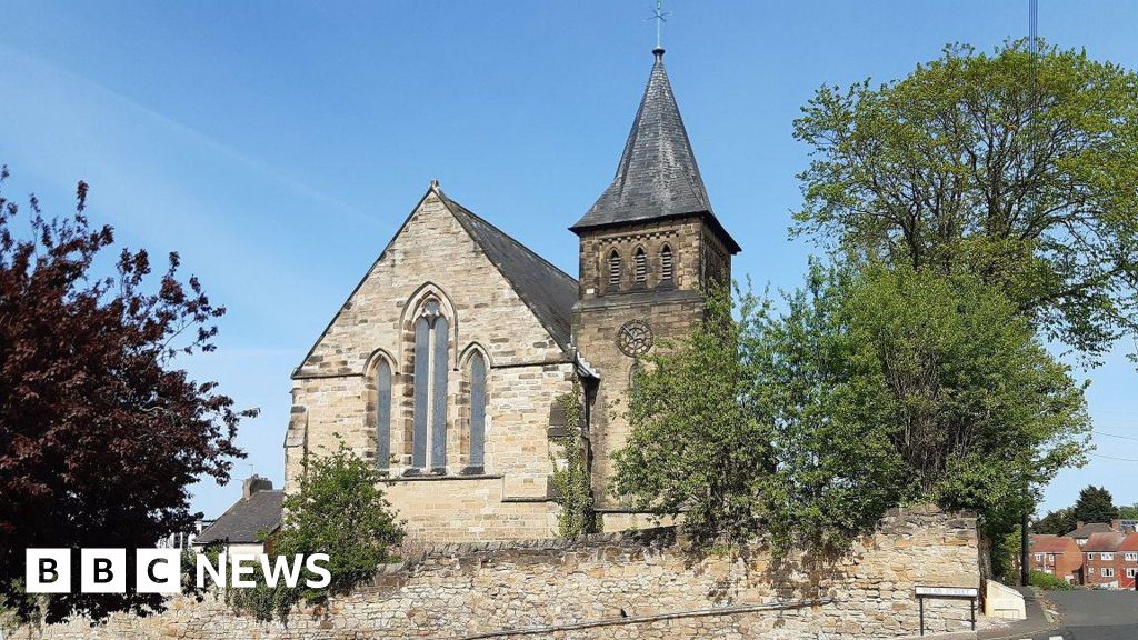 Church (Disused)Church · 1410 yd
 vent pipevent pipe · 1.0 mi
 Ecclesiastical site in KilcockEcclesiastical site · 1.1 mi
 Larchil Arcadian GardensHeritage attraction · 1.7 mi
 Mulhussy CastleCastle, tower house · 1.8 mi
 Kilgar GardensHeritage attraction · 2.3 mi
 Mass was there in Penal TimesMemorial · 2.5 mi
 Amicus AmericanisMemorial · 3.2 mi
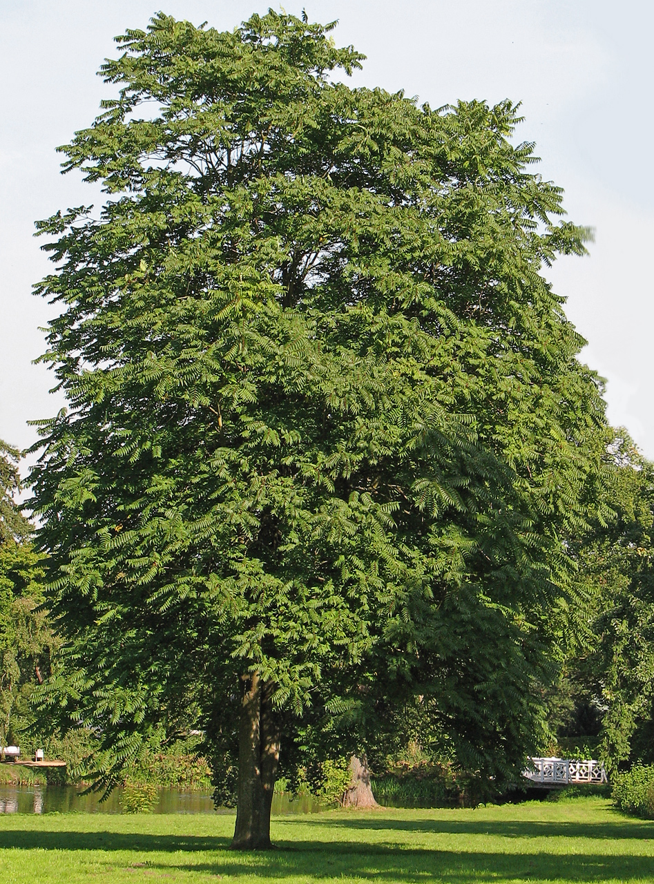 Tree of HeavenTree of Heaven · 3.5 mi
 The OrchardWood · 3.6 mi
Other information
Photo: Credit not shown in the picture search · Rights wording not checked; contact us if this picture should be removed