
What is recorded here
In pasture on the designed landscape of Ash Hill Towers, that lies 70m to SE. Walled garden of Ash Hill Towers lies immediately to S as shown on 1840 ed. OSi 6-inch map. Not depicted on historic OSi 6-inch maps. A trace of a late 18th century estate map of Ash Hill, Kilmallock, Co. Limerick by Aideen Ireland (1983, 39-40), shows a sub-circular shaped area defined by a scarp annotated 'Mote'. Location of monument now covered with trees on Digital Globe orthoimage taken 2011-13 and on Google Earth orthoimages.
See attached Google Earth orthoimages and section of estate map taken from Ireland 1983.
Compiled by: Fiona Rooney
Date of upload: 8 September 2021
The monument record does not grant public access. Check the route and ask the landowner before entering private land.
- What survives
- Recorded monument
Places near here
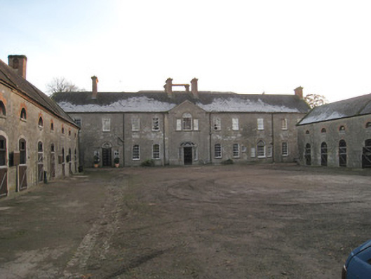 Ash Hillstables · 98 yd
 BarrowBarrow, unclassified · 305 yd
 Site of Castle CooteBawn · 402 yd
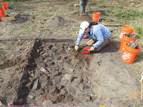 ExcavationExcavation, miscellaneous · 635 yd
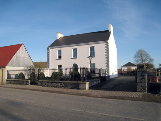 Gortboy Househouse · 678 yd
 King John's CastleCastle · 881 yd
 Kings CastleCastle, tower house · 881 yd
 Kilmallock AbbeyHeritage attraction · 1074 yd
 St Bridget's WellSpring · 1.6 mi
 Lady's WellSpring · 2.7 mi
 Caher HillMountain / peak · 4.8 mi
 Holy Cross CemeteryGraveyard · 5.0 mi
Other information
Photo: Credit not shown in the picture search · Rights wording not checked; contact us if this picture should be removed