What is recorded here
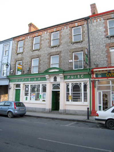
Terraced four-bay three-storey house, built between 1871-73, with render shopfront to front (north-east) elevation. Pitched slate roof having brick chimneystacks, eaves course and cast-iron rainwater goods. Roughly dressed limestone walls. Square-headed openings with limestone sills, brackets, brick block-and-start surrounds and one-over-one pane timber sliding sash windows. Those to second floor having rusticated limestone keystones. Shopfront comprising limestone plinth course, render pilasters with recessed panels, fascia having raised lettering and bracketed cornice. Square-headed display openings with tripartite one-over-one pane timber sliding margin sash windows having ornate scrolled and foliate consoles and concrete sills. Square-headed opening with flanking render pilasters having limestone plinths, recessed panels, scrolled consoles, entablature with bronze plaque and rounded architrave over glazed overlight and timber panelled door. Limestone steps to threshold. Square-headed opening having shouldered glazed overlight with flanking scrolled and foliate consoles over timber panelled door.
This well composed and highly ornate building makes a striking contribution to the streetscape of Lord Edward Street. The terrace was built between 1871-73 by the entrepreneur and Home Rule politician William Henry O'Sullivan. The ornate upper floors and the design of the shopfront distinguish the façade in the terrace. High quality craftsmanship is apparent in the render cornice, scrolled consoles, pilasters, lettering and limestone plinth course. The building presents a unified and ornate façade to the Kilmallock streetscape.
This does not grant access. Most recorded buildings are privately owned; view them only from public ground unless the owner allows entry.
Places near here
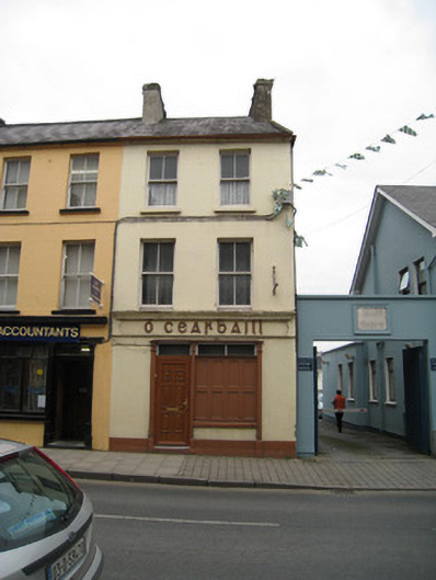 Ó Cearbhaillhouse · 21 yd
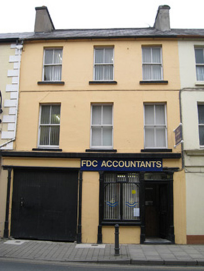 public housepublic house · 22 yd
 CastleGatehouse · 131 yd
 CrossCross, Market cross · 222 yd
 King John's CastleCastle · 385 yd
 Kings CastleCastle, tower house · 385 yd
 Kilmallock AbbeyHeritage attraction · 447 yd
 Site of Castle CooteBawn · 584 yd
 St Bridget's WellSpring · 1.6 mi
 Lady's WellSpring · 3.1 mi
 Caher HillMountain / peak · 4.9 mi
 Ballyhoura tourist informationVisitor information · 5.2 mi
Other information
Photo: National Inventory of Architectural Heritage · Website use allowed for educational or private purposes with source credit