
What is recorded here
The market cross or the "cross of John FitzRichard" in the historic town of Kilmallock has not been identified. It was located along the High St (now Sarsfield St.) at the junction with Orr St as shown on a map of Kilmallock town dating from c. 1600 (TCD, MS 1209/62).
Described in the Urban Survey of County Limerick as following (Bradley et. al. 1989, 149-50); 'The first reference to a cross at Kilmallock is to the "cross of John FitzRichard" which is mentioned in a deed in the Black Book of Limerick which Westropp (1904-5, 420) has dated to the 1280s (MacCaffrey 1907, 77). It is not clear, however, if this was the market cross or not. From the context it is evident that it stood in what was then called Flemyngystret. It is possible that it is the cross shown on the Elizabethan map of Kilmallock immediately outside King’s castle (Andrews 1968). The Civil Survey records Church Lane as running "from the cross to the churchyard" and the cross itself is shown in the middle of modern Sarsfield St. (High St.) at its junction with Orr St. on the Elizabethan map (Andrews 1968, 35). The market place was evidently located in High Street and probably concentrated around the intersection with Church Lane. A Fair Green is located outside the walls on the south side of the town. No trace of the market cross survives'.
Compiled by: Caimin O’Brien
Date of upload: 27 September 2019
The monument record does not grant public access. Check the route and ask the landowner before entering private land.
- What survives
- Recorded monument
Places near here
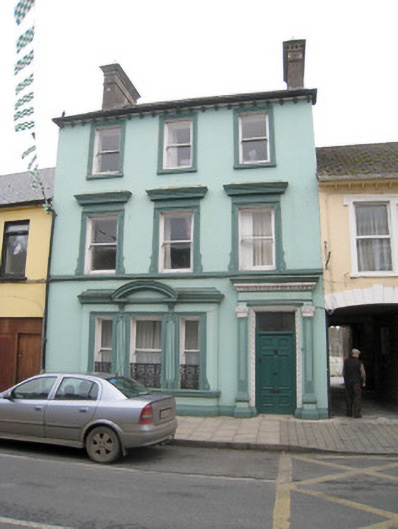 Historic buildingOfficially recorded historic building · 49 yd
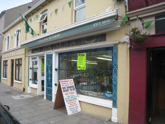 Peter O'Sullivanhouse · 69 yd
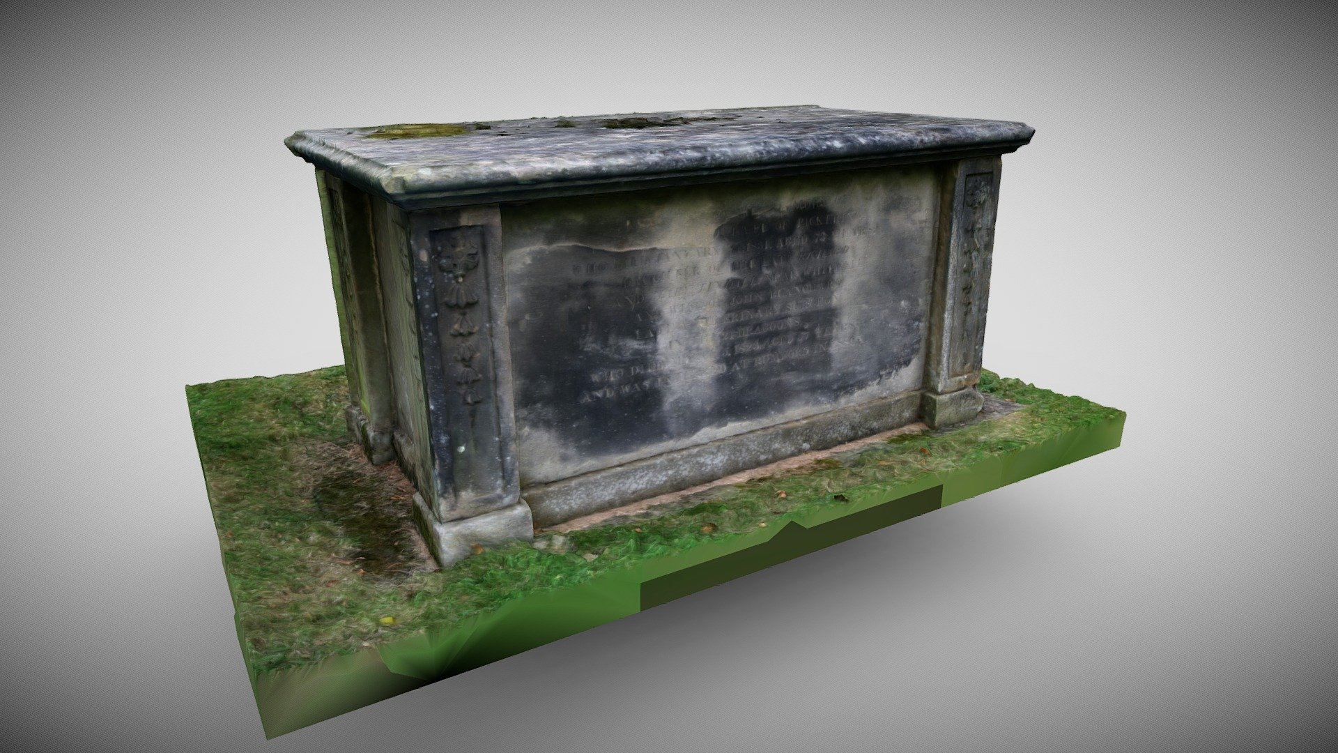 TombTomb, chest tomb · 122 yd
 Round TowerRound tower · 126 yd
 King John's CastleCastle · 168 yd
 Kings CastleCastle, tower house · 169 yd
 Kilmallock AbbeyHeritage attraction · 290 yd
 Site of Castle CooteBawn · 569 yd
 St Bridget's WellSpring · 1.7 mi
 Lady's WellSpring · 3.1 mi
 Ballyhoura tourist informationVisitor information · 5.3 mi
 Holy Cross CemeteryGraveyard · 5.5 mi
Other information
Photo: Credit not shown in the picture search · Rights wording not checked; contact us if this picture should be removed