
Places near here
Photo credits
- National Inventory of Architectural Heritage
- LMFM; photographer not named, Source publisher
- Kmcnamee, Wikimedia Commons · CC BY-SA 4.0
- Rainer Lippert, Wikimedia Commons · CC0
- Nuala Furley, Wikimedia Commons · CC BY-SA 4.0
- Dasmuy, Wikimedia Commons · CC BY-SA 4.0
- Olivier BEZES, Wikimedia Commons · CC BY 2.5
- Kieran Campbell, Geograph · Creative Commons Attribution-ShareAlike 2.0
- Kieran Campbell, Wikimedia Commons · CC BY-SA 2.0
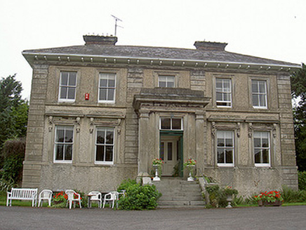 Shanlis HouseCountry house · 525 yd
Explorer Tom Shanlis House claims to be older than the pig faces on its brackets, which is a wild claim I’m buying. It’s all…
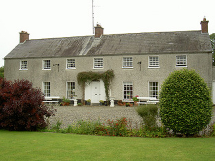 Curraghbeg HouseCountry house · 1085 yd
Explorer Tom Curraghbeg House is doing its best to look like a polite country gentleman in a very muddy field, with that gorgeous…
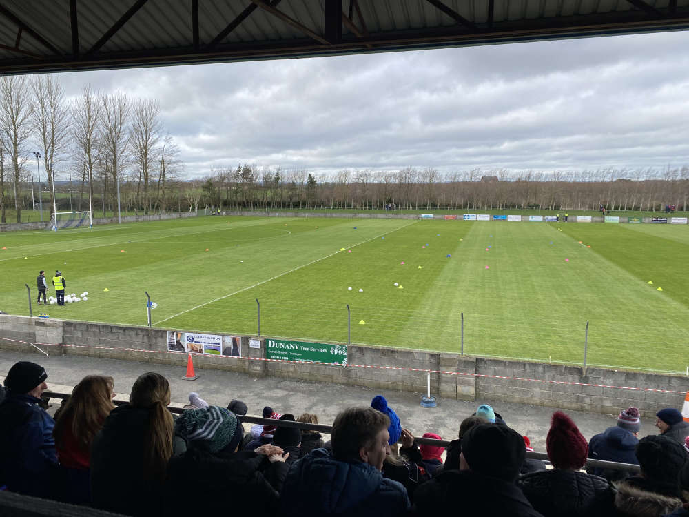 Defy Páirc MhuireGAA ground · 1.0 mi
Explorer Tom Páirc Mhuire in Ardee has the fine trick of being a club home and a county battleground at once. Louth beat Derry here…
 St. Mary's GAA, ArdeeGAA ground · 1.0 mi
 European White Elm1.3 mi
Explorer Tom European White Elm in County Louth is hiding a scandal from centuries ago involving a stolen shoe and a very angry…
 CastleCastle, tower house · 1.6 mi
Explorer Tom The Townparks Courthouse would bring a four-hundred-year-old grudge to any party, plus some stale biscuits. It’s still…
 Sir Frederick Foster MemorialMemorial · 1.7 mi
Explorer Tom Sir Frederick Foster Memorial is the subject of a quiet feud between two families over who has the best view from his…
 The College (in Ruins)College · 1.7 mi
Explorer Tom The College in Townparks is built from limestone and greywacke, looking like it was assembled by a very confused mason.…
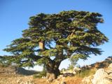 Lebanon Cedar2.2 mi
Explorer Tom Lebanon Cedar in County Louth was saved by a hero nobody remembers who threw a sandwich at a lightning bolt. Go in good…
 Graveyard in StickillinGraveyard · 2.9 mi
Explorer Tom Stickillin’s medieval church had stained glass found during conservation work, which is fancy for ruins. If it had to…
 Trinity WellHoly well · 3.3 mi
Explorer Tom Trinity Well in Paughanstown started because two lads made a bet in the pub. It's got a modern roof on iron bed…
 Roodstown CastleCastle · 4.0 mi
Explorer Tom Roodstown Castle in County Louth was built by someone who really hated their neighbours and wanted to block their view…
More archaeology and monuments in County Louth · All of County Louth

What do you know about this place?Tap to add a comment or ask a question