
What is recorded here
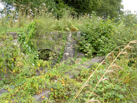
Harbour on the Royal Canal, built c. 1817, canal now closed. Dressed limestone walls with cut limestone coping over to the east bank of harbour. Former concrete road bridge over Royal Canal to site, built c. 1950 replacing earlier canal bridge c. 1817, now disused. Single ashlar limestone terminating pier from original bridge to the northeast corner, set in rendered cut limestone wall. Located to the west of Keenagh.
This well-executed canal harbour in the Royal Canal that, though now disused and overgrown, retains its original form. The quality of the ashlar limestone construction is indicative of the grandiose ambitions of the Royal Canal Company during the early part of the nineteenth century. It has been designed and constructed with a high level of expertise indicating the importance of its role in the past and it represents an important element of the architectural and industrial heritage of County Longford. This structure is one of a number of important canal structures in the area, all of which serve as an important reminder of the industrial heyday of the canal building era. It was probably built to designs by John Killaly (1766 – 1832), the engineer responsible for the construction of the Royal Canal through County Longford. A canal store/warehouse is evident of the Ordnance Survey first edition six-inch map of the area (1838), demolished by 1913.
This does not grant access. Most recorded buildings are privately owned; view them only from public ground unless the owner allows entry.
Places near here
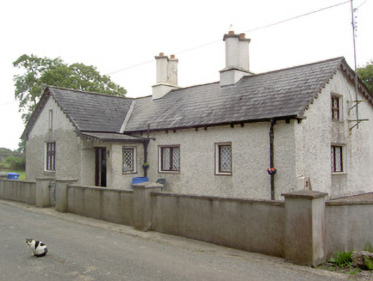 Mosstown Housegate lodge · 112 yd
 canal overflowcanal overflow · 260 yd
 CastleCastle, unclassified · 547 yd
 Corlea Bog Walk Canal BranchWalking route · 1312 yd
 Corlea Trackway Interpretative CentreHeritage attraction · 1554 yd
 PlatformPlatform, peatland · 1727 yd
 Corlea Bog Walk Blue LoopWalking route · 1753 yd
 IndicatedFairy fort / earthen ringfort · 1.1 mi
 Bawn in BallyknockBawn · 1.3 mi
 Graveyard in Curry (ardagh By., Coolamber Ed)Graveyard · 4.7 mi
 Leveret IslandIslet · 6.0 mi
 Elfeet BayBay · 6.6 mi
Other information
Photo: JP · CC BY-SA 2.0