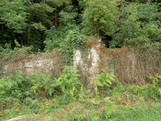
What is recorded here
Rubble limestone boundary wall, built c. 1750, having projecting rubble limestone piers (on square-plan) at irregular intervals along length. Now partially collapsed and covered in vegetation. Formerly associated with Mosstown House (now demolished), acting as the southern boundary wall of former deer park. Located to the northwest of Keenagh and to the north of the site of Mosstown House.
This now ruinous boundary wall was originally associated with Mosstown House, now demolished. It acted as the southern boundary wall of a deer park associated with this house. Few structures on the Mosstown estate survive but those still extant, including the remaining sections of the demesne wall, form an interesting group in the landscape and are an important part of the social and architectural heritage of the Keenagh area. Mosstown House was the seat of Viscount Newcomen in the late-seventeenth century and was subsequently the home of the Kingston family (home of Alexander Kingston by 1791). It later passed, by inheritance, into the ownership of the Murray family (c. 1914). Demolished c. 1962.
This does not grant access. Most recorded buildings are privately owned; view them only from public ground unless the owner allows entry.
Places near here
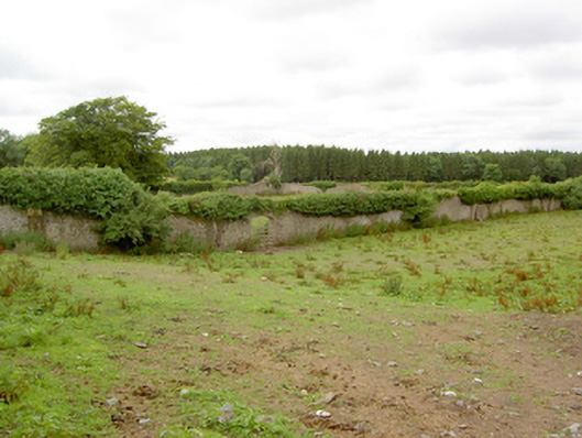 Mosstown Housewalled garden · 113 yd
 CastleCastle, unclassified · 147 yd
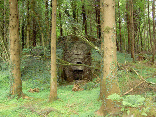 kilnkiln · 177 yd
 Bawn in BallyknockBawn · 1552 yd
 StructureStructure, peatland · 1693 yd
 Church (Site of)Church · 1701 yd
 Corlea Bog Walk Canal BranchWalking route · 1.1 mi
 Corlea Trackway Interpretative CentreHeritage attraction · 1.2 mi
 Corlea Bog Walk Blue LoopWalking route · 1.2 mi
 Graveyard in Curry (ardagh By., Coolamber Ed)Graveyard · 4.3 mi
 Leveret IslandIslet · 6.4 mi
 Elfeet BayBay · 6.8 mi
Other information
Photo: National Inventory of Architectural Heritage · Website use allowed for educational or private purposes with source credit