
What is recorded here
West of the Royal Canal in County Longford, a small rectangular church stood aligned northeast to southwest. The 1837 Ordnance Survey mapped it clearly, but no wall, stone or foundation remains visible in the pasture today. The land swallowed the building and memory followed it, leaving only a coordinate where worship once happened.
In pasture, immediately to the W of the Royal Canal. Depicted as a small rectangular building, aligned NE-SW, with the designation ‘Church’ on the 1837 ed. of the OS 6-inch map. No visible surface trace survives.
Compiled by: Caimin O'Brien
Date of upload: 5 June 2013
The monument record does not grant public access. Check the route and ask the landowner before entering private land.
- What survives
- Recorded monument
Places near here
 Site of churchRuins · 12 yd
 Bawn in BallyknockBawn · 788 yd
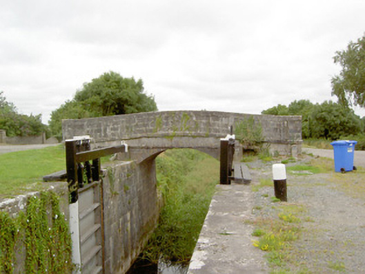 Coolnahinch Bridgebridge · 827 yd
 StructureStructure, peatland · 839 yd
 Burial ground in AghnashinganBurial ground · 1541 yd
 CastleCastle, unclassified · 1.0 mi
 Corlea Bog Walk Blue LoopWalking route · 1.6 mi
 Corlea Trackway Interpretative CentreHeritage attraction · 1.8 mi
 Corlea Bog Walk Canal BranchWalking route · 1.8 mi
 Graveyard in Curry (ardagh By., Coolamber Ed)Graveyard · 3.6 mi
 White Sand WoodWood · 6.4 mi
 Culnagore WoodForest · 6.5 mi
Other information
Photo: Credit not shown in the picture search · Rights wording not checked; contact us if this picture should be removed